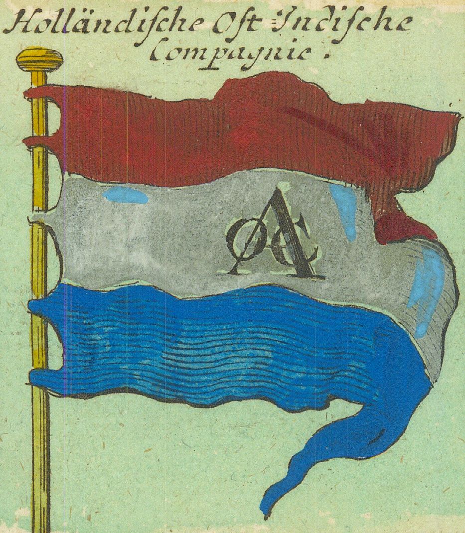
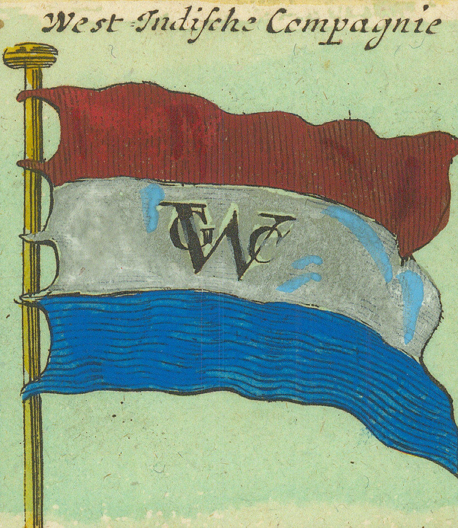
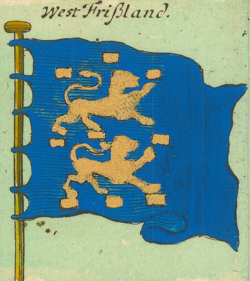
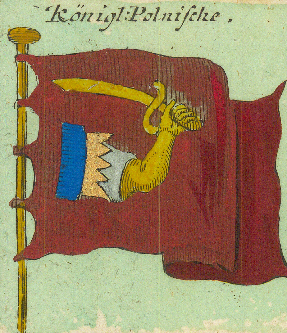
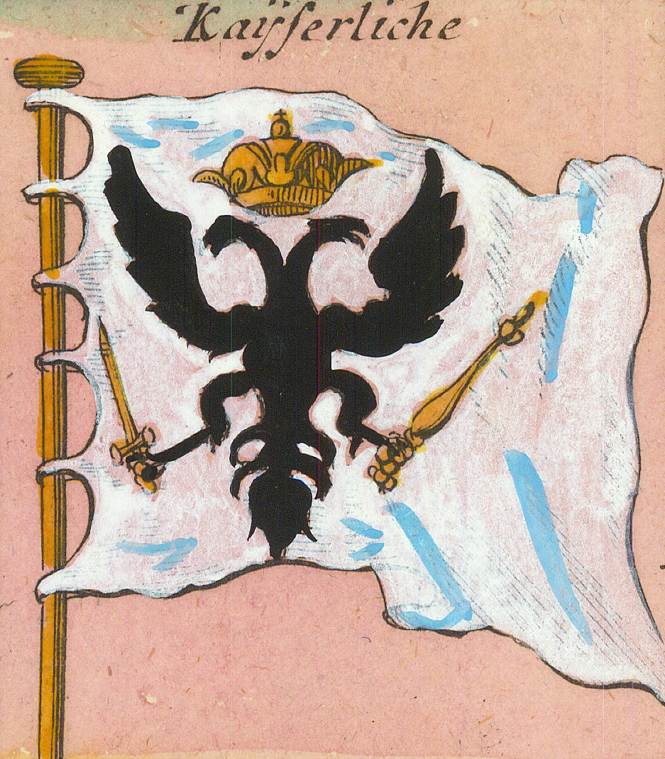
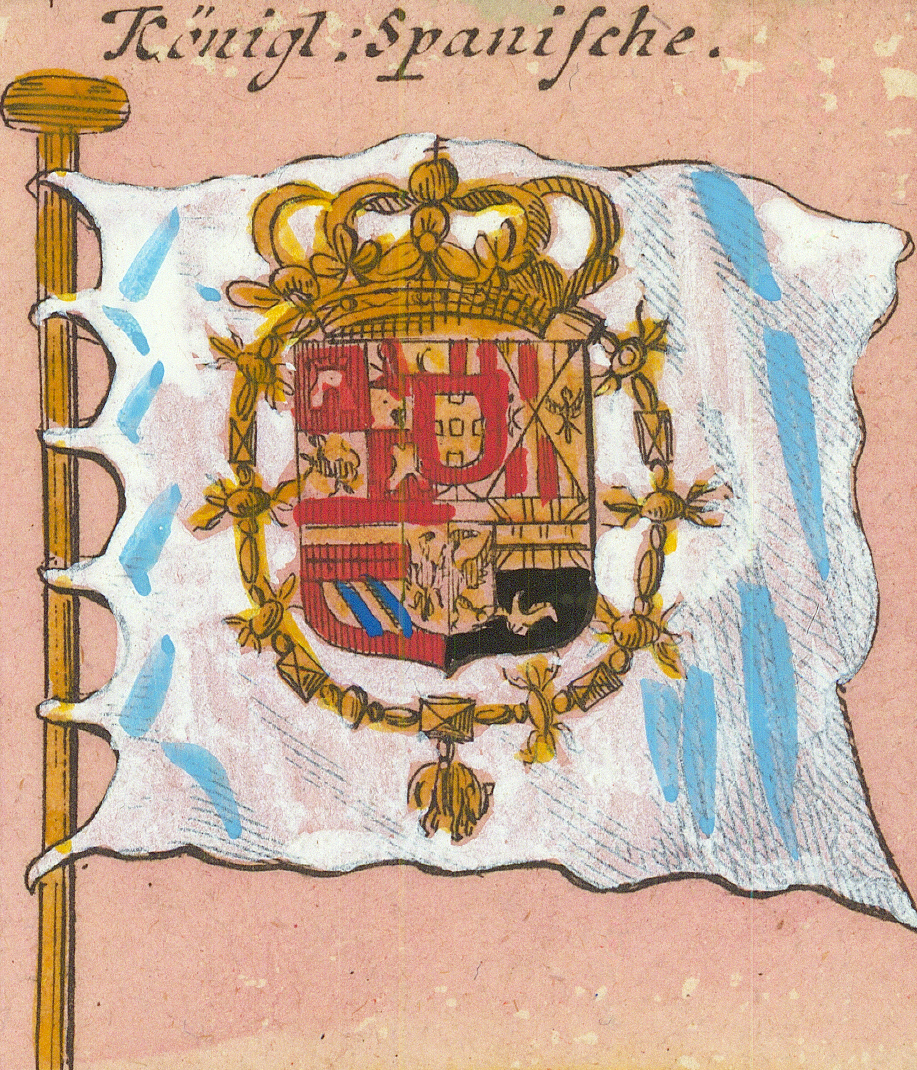
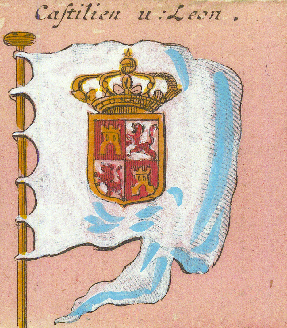
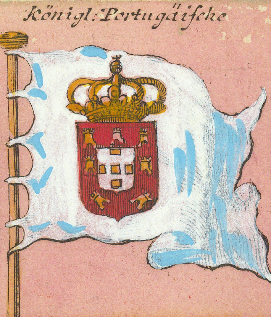
Flaggen aller seefahrenden Potenzen und Nationen in der gantzen Weldt (“Flags of all seafaring powers and nations in the whole world”) is an engraved, hand-coloured flag chart presented — as its subtitle states — by Johann Baptist Homann of Nuremberg, the leading German map publisher of the early eighteenth century. It shows 139 flags in a grid of ten rows, with a small legend of plain colour flags in the final cell, each flag drawn flying from a gilt staff with its name engraved above it.
This page catalogues the sheet as a historical source. Printed captions are transcribed as engraved, keeping the sheet's early-eighteenth-century German spellings — Engeland, Duijkirchen, Marsilien, Thunis — with the long s rendered as s; an English rendering follows in italics. The same name sometimes appears over different designs, and the same design under different names; both are preserved as printed. The captions do not by themselves establish that every depicted design was official, current, or colour-accurate at the time of publication.
Source Catalogue
Complete sheet, reduced for display. Select the image to open the full 600 dpi source scan (about 258 MB).
Printed title
Flaggen aller seefahrenden Potenzen und Nationen in der gantzen Weldt, vorgestellt von Iohann Baptist Homann in Nürnberg
Collection date
c. 1720 (assigned). No date is engraved on the sheet. Homann published in Nuremberg from 1702 until his death in 1724, and the chart was reissued over many years; the dating of this impression remains to be refined.
Associated work
Issued in the composite atlases of the Homann firm; the containing atlas of this copy has not been identified.
Publisher
Johann Baptist Homann, Nuremberg, named in the engraved subtitle
Creator of plate
The engraver is not named on the sheet
Language
German
Format
Copper-engraved sheet, hand-coloured, the cells washed in alternating background tints by row
Physical extent
One sheet; approximately 61 × 52 cm, inferred from the 600 dpi scan. Dimensions of the physical sheet not yet measured directly.
Provenance
Not yet recorded
Contents
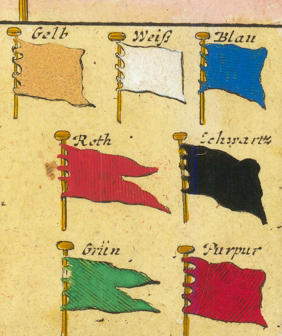
140 cells in ten rows of fourteen: 139 flag panels, and a final cell containing a legend of seven plain colour flags (Gelb, Weiß, Blau, Roth, Schwartz, Grün, Purpur). Several names recur over different designs (three Königl: Englische, four Brandenburg, three Denische, three Malta).
Digital surrogate
Complete sheet: JPEG, 14401 × 12331 pixels at 600 dpi, with a reduced 1024 × 876 JPEG for display. Extracted panels: PNG (140), cropped from the 600 dpi scan to the extent of each cell, inside the ruled borders.
Catalogue status
Preliminary. The impression's date and containing atlas, provenance, and individual flag analysis remain subject to revision.
Editorial convention: Engraved names are retained with their original spellings because they are evidence of the source's terminology. Modern identification and analysis are supplied separately, without silently replacing the printed labels.
Index of Flag Panels
The sheet contains 140 cells in ten rows of fourteen. The plate prints no group headings; the rows nevertheless proceed in a loose order — English and French flags, then Dutch, Baltic and Scandinavian, the Iberian and Italian states, the Ottoman world, and finally the Mediterranean city-states and Asia. They are presented here row by row in plate order, read left to right. Each entry gives the engraved name and an English rendering in italics. Select any image to open the full-resolution extraction.
Row 1
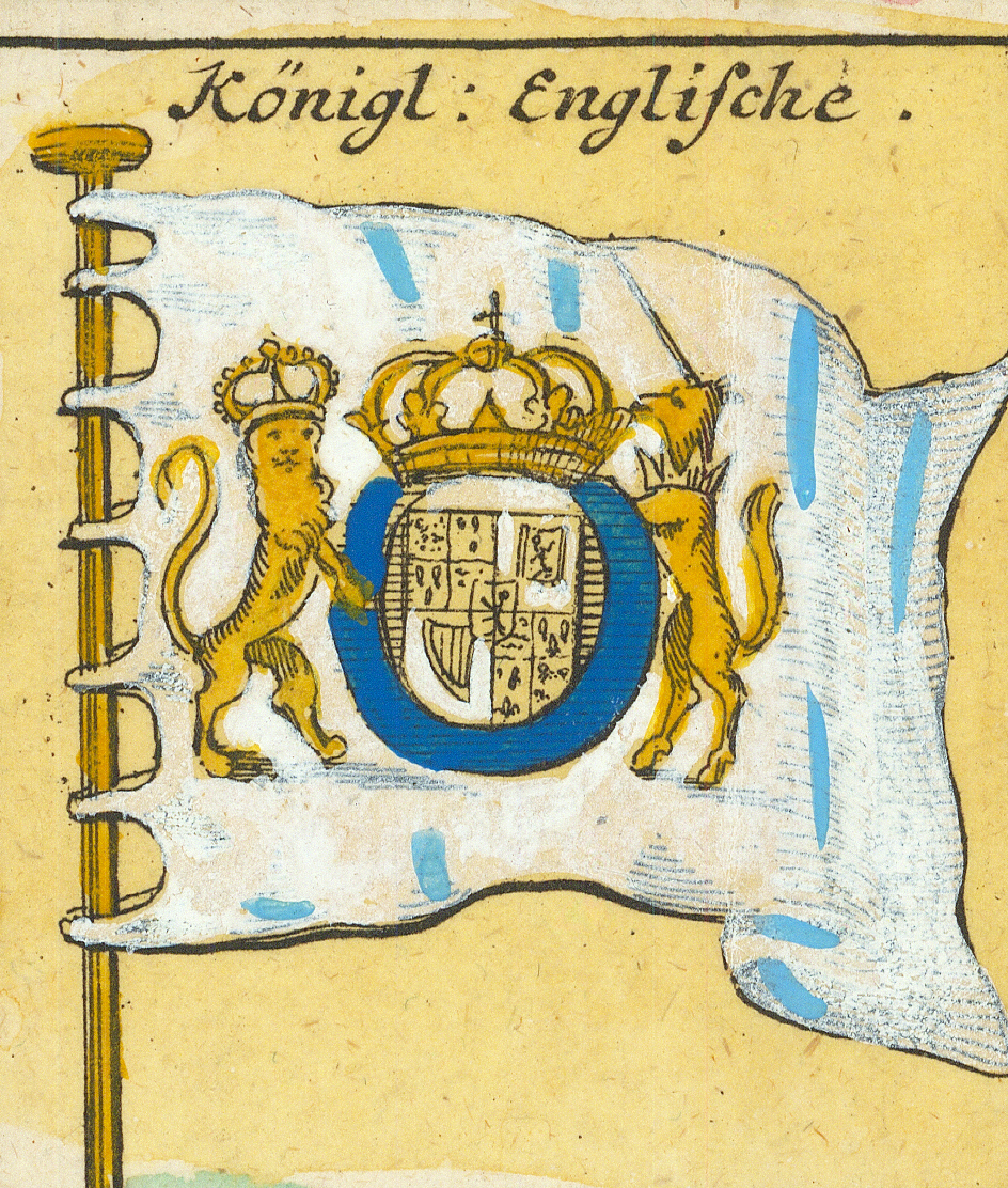
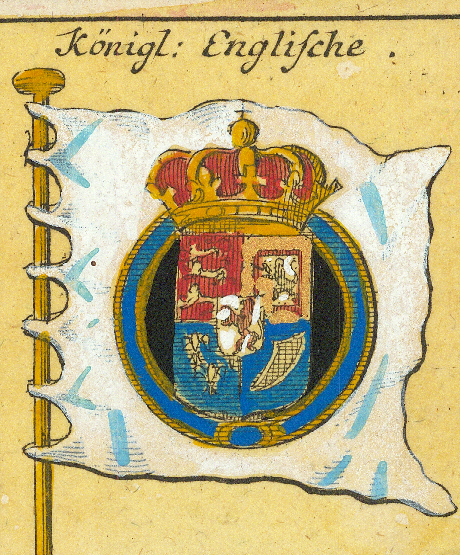
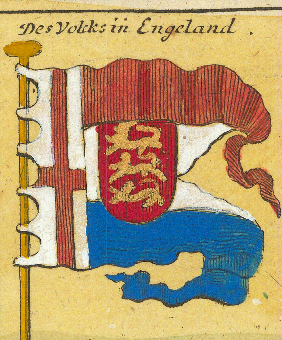
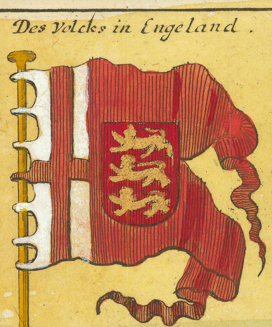
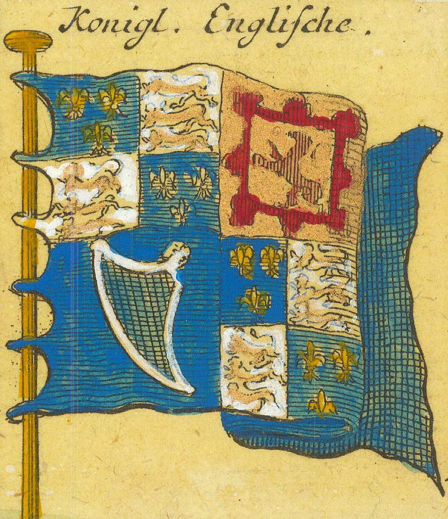
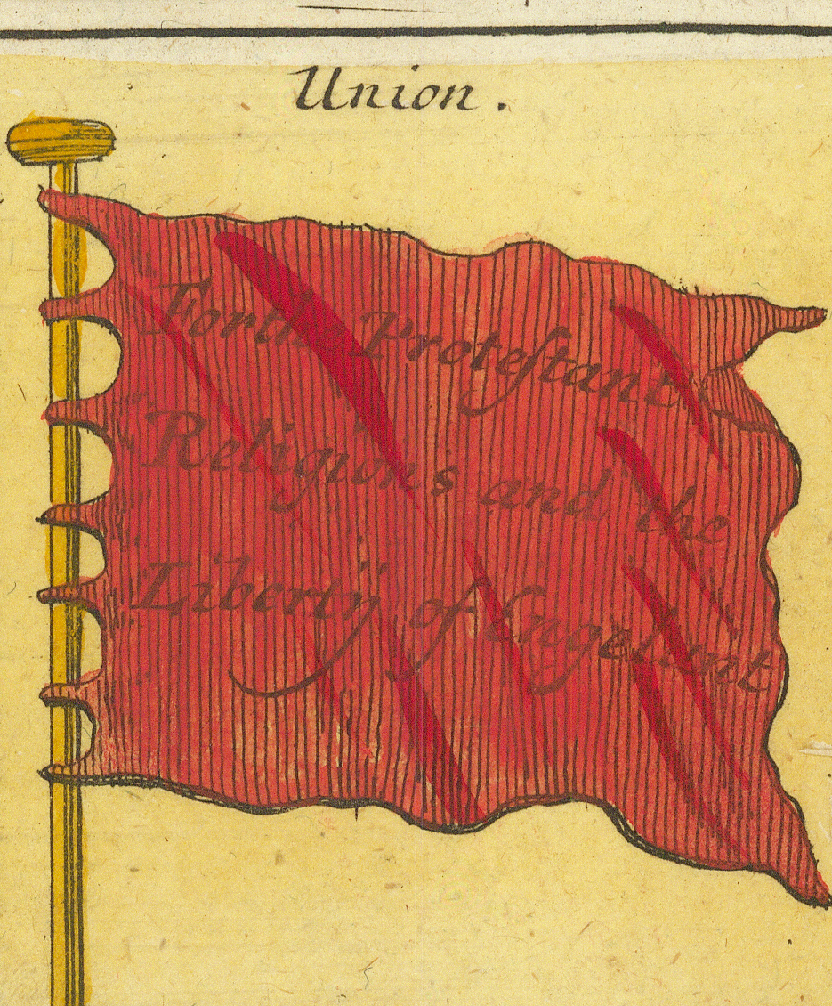
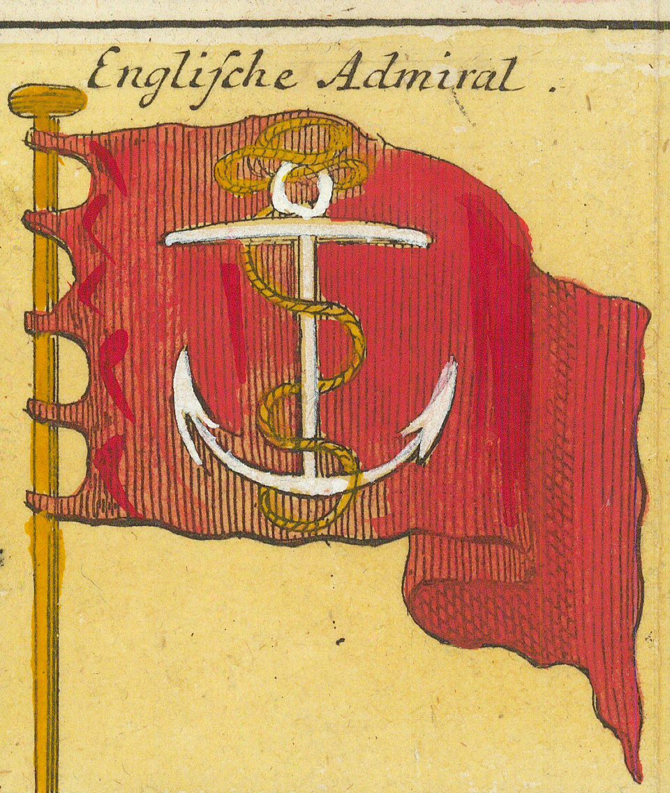
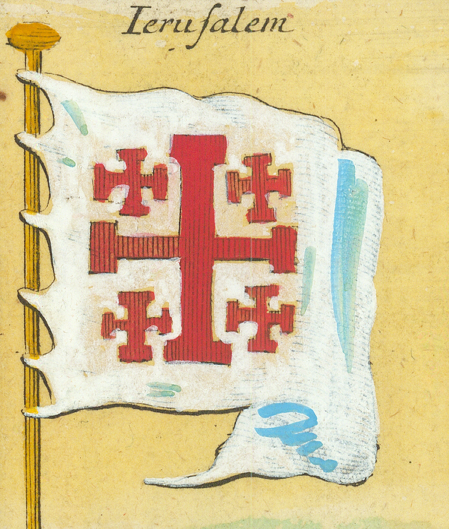
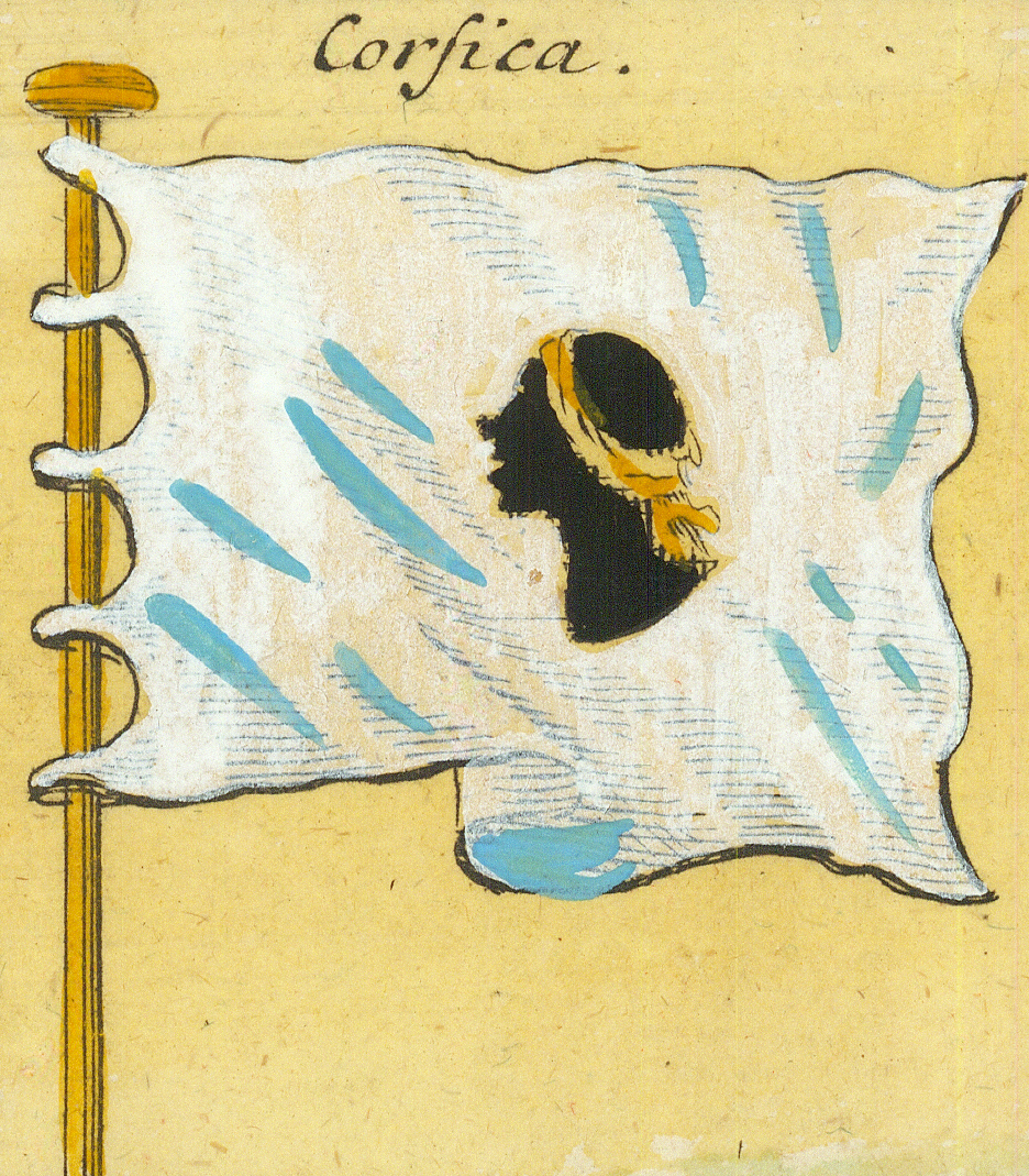
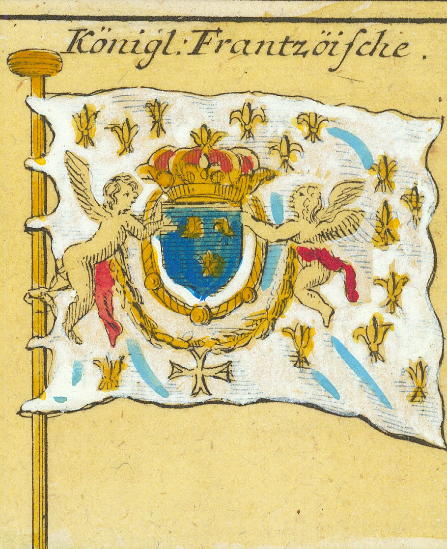
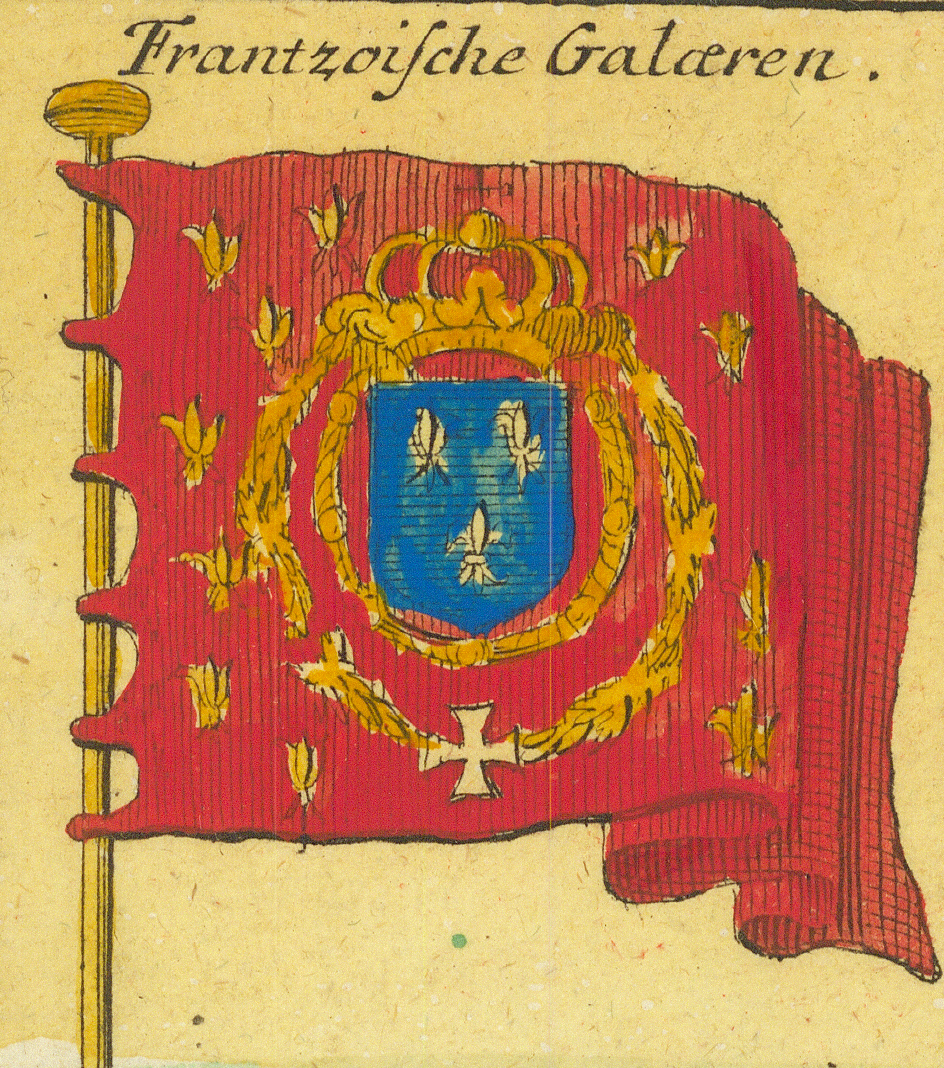
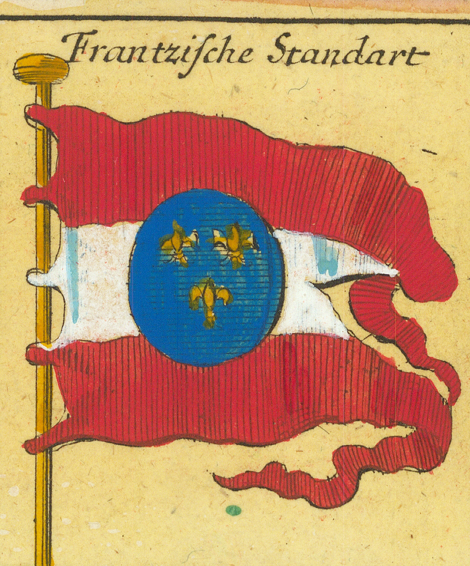
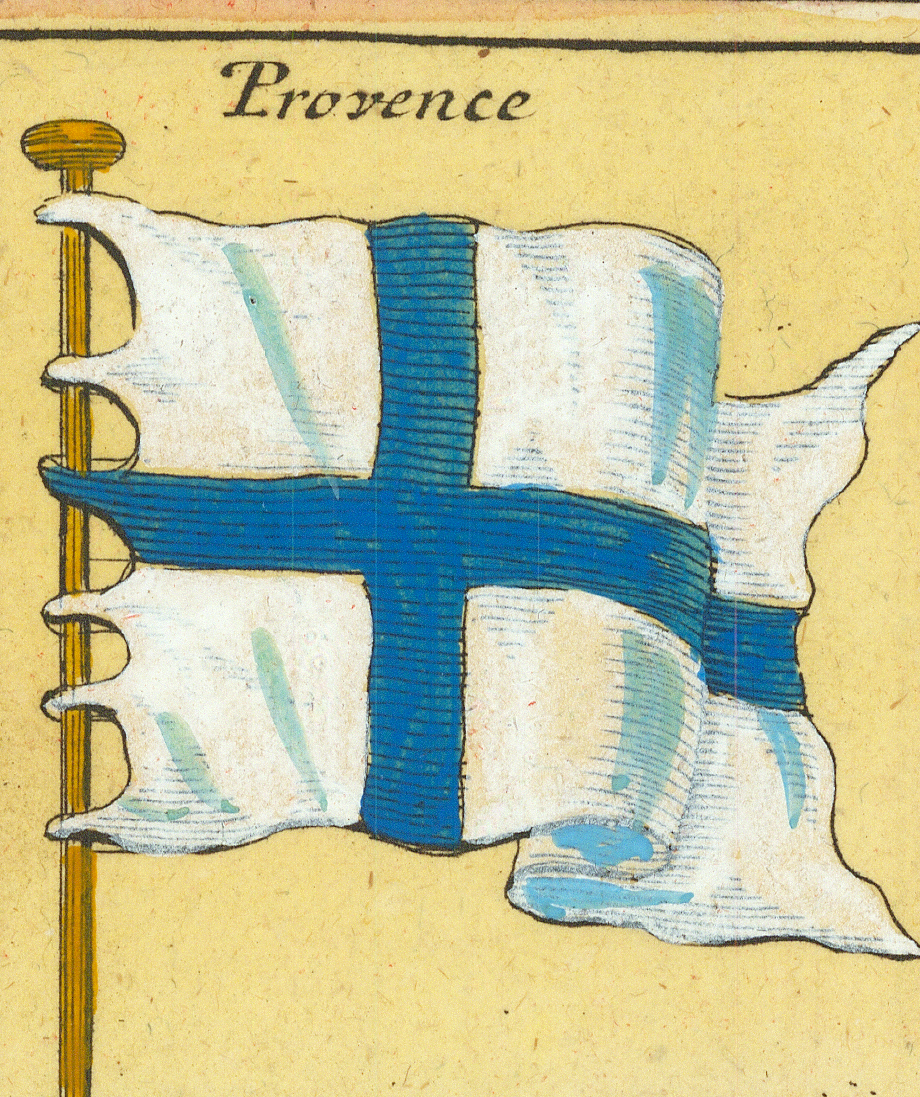
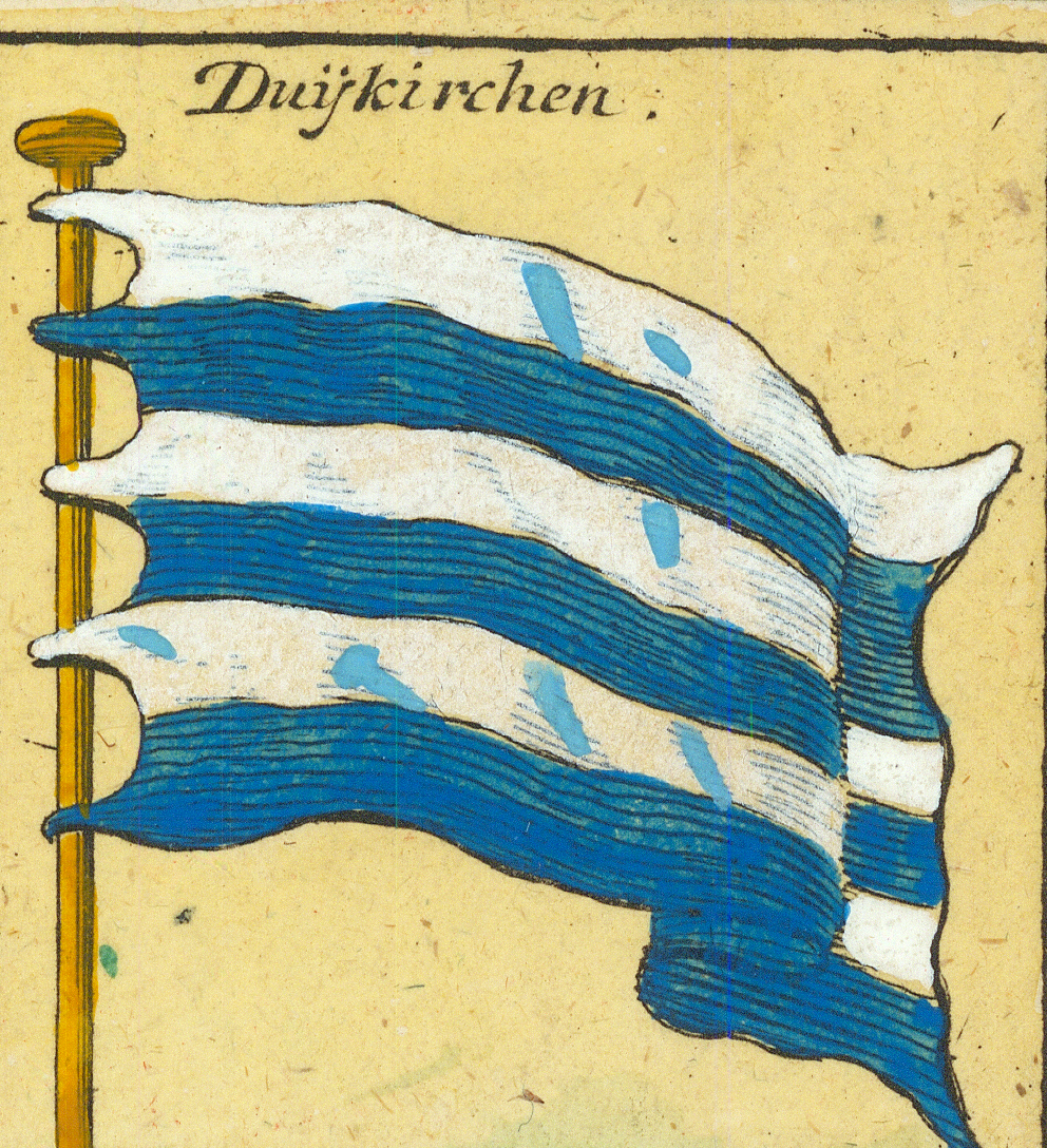
Königl: EnglischeRoyal English — arms with lion and unicorn supportersKönigl: EnglischeRoyal English — crowned arms within the GarterDes Volcks in EngelandOf the people in EnglandDes Volcks in EngelandOf the people in England — second formKönigl. EnglischeRoyal English — quartered royal standardUnionUnion — red flag inscribed “For Protestant Religion and the Liberty of England”Englische AdmiralEnglish Admiral — the anchor flagIerusalemJerusalem — the Jerusalem crossCorsicaCorsica — the Moor's headKönigl: FrantzöischeRoyal French — arms with angel supporters on whiteFrantzoische GalærenFrench galleysFrantzische StandartFrench standardProvenceProvence — blue cross on whiteDuijkirchenDunkirk
Row 2
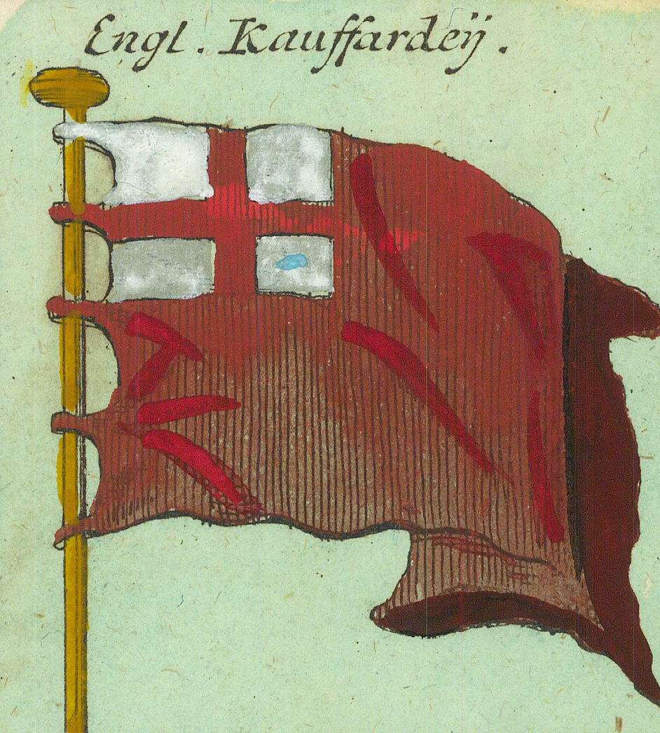
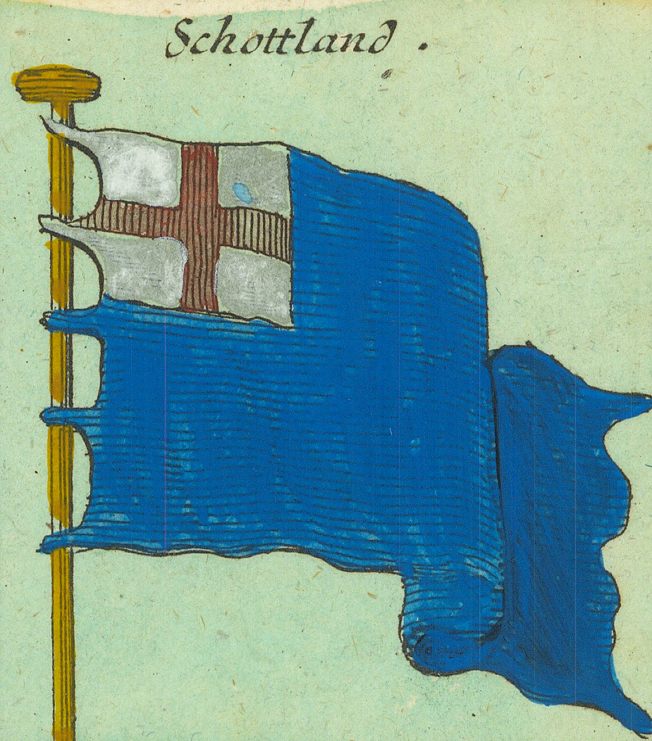
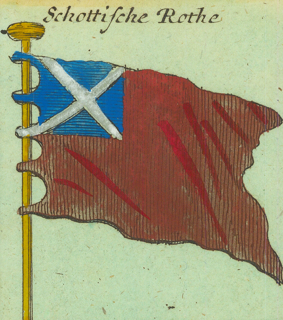
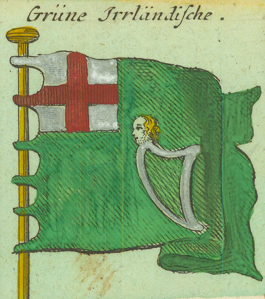
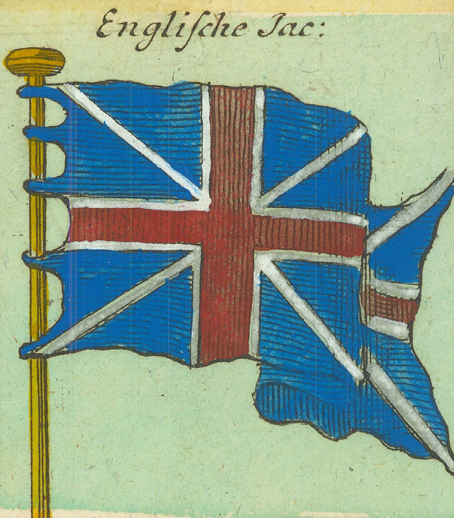
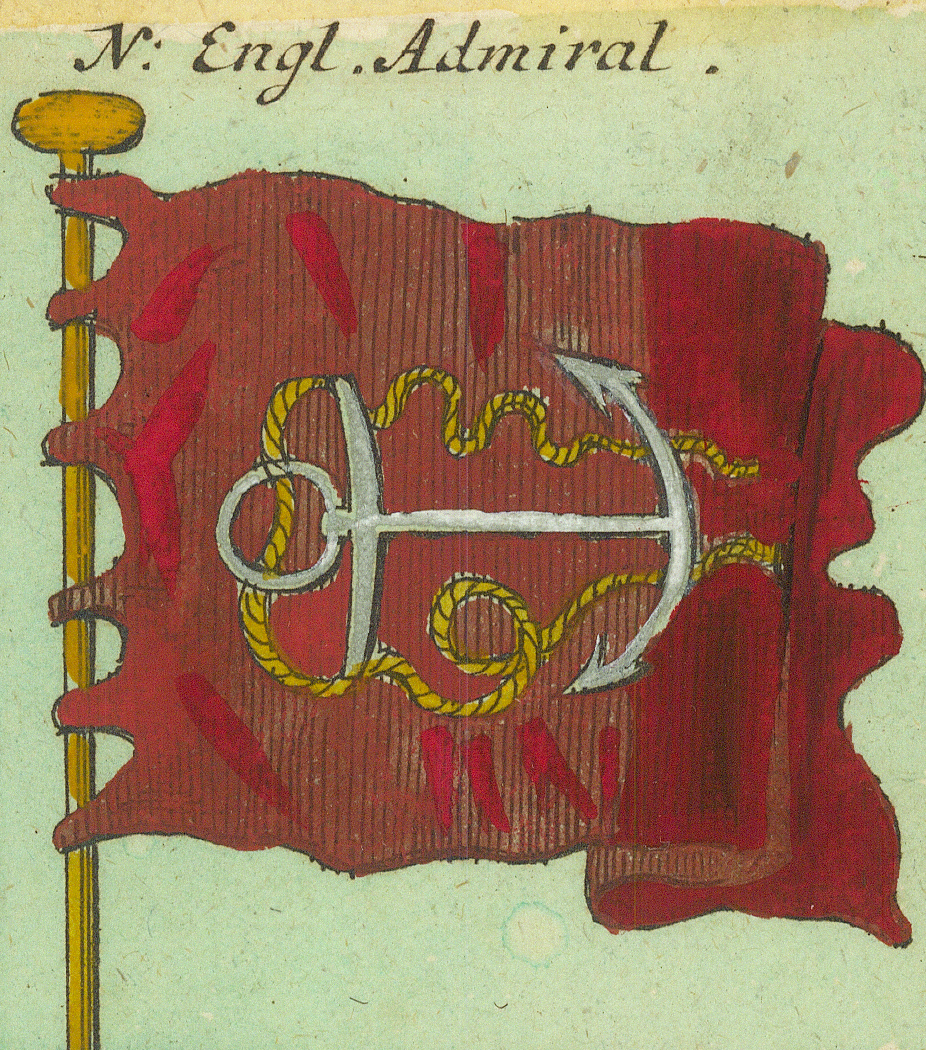
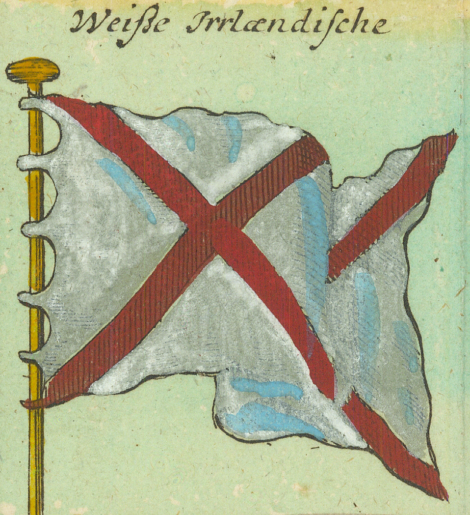
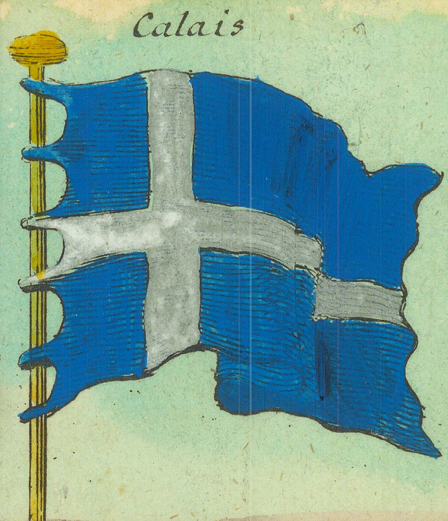
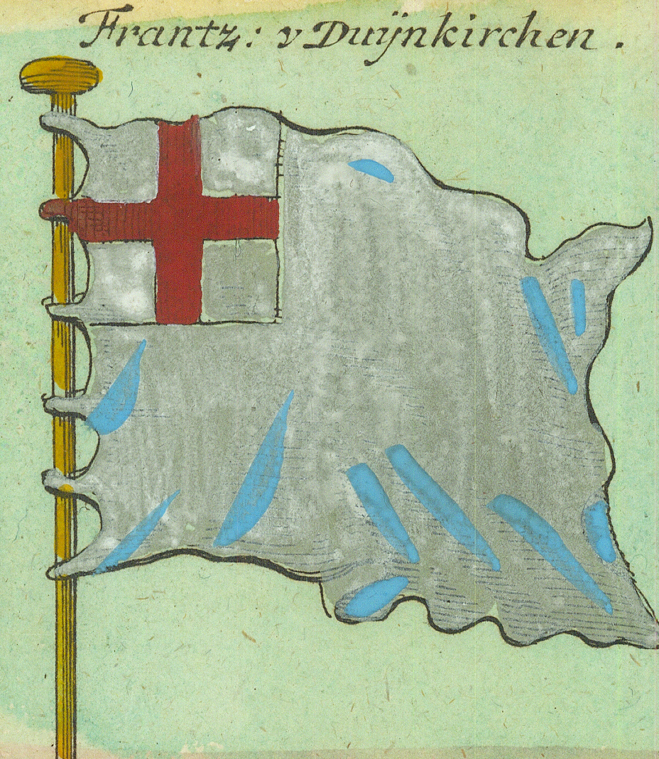
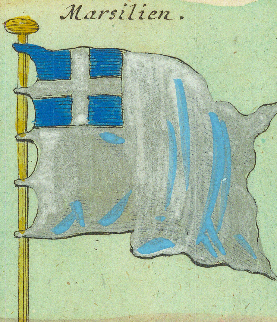
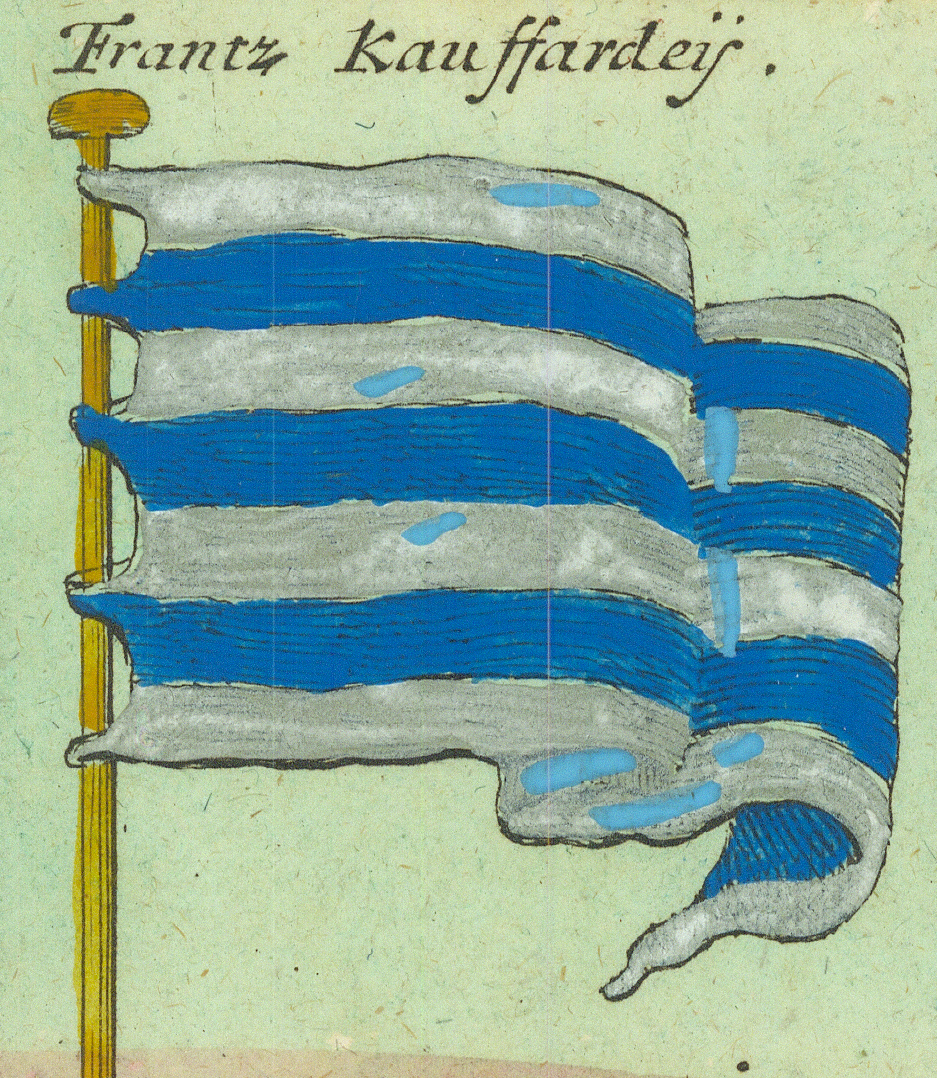
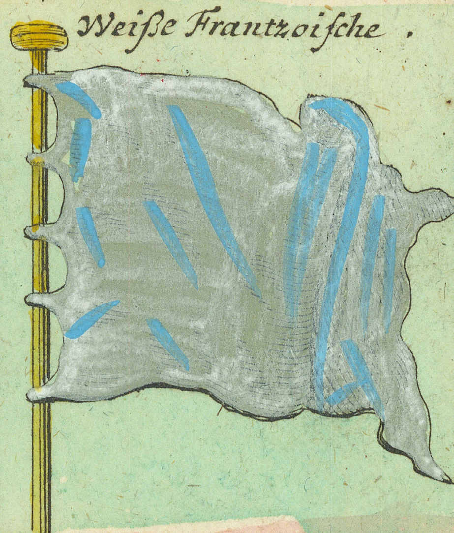
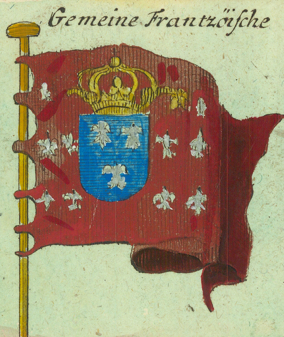
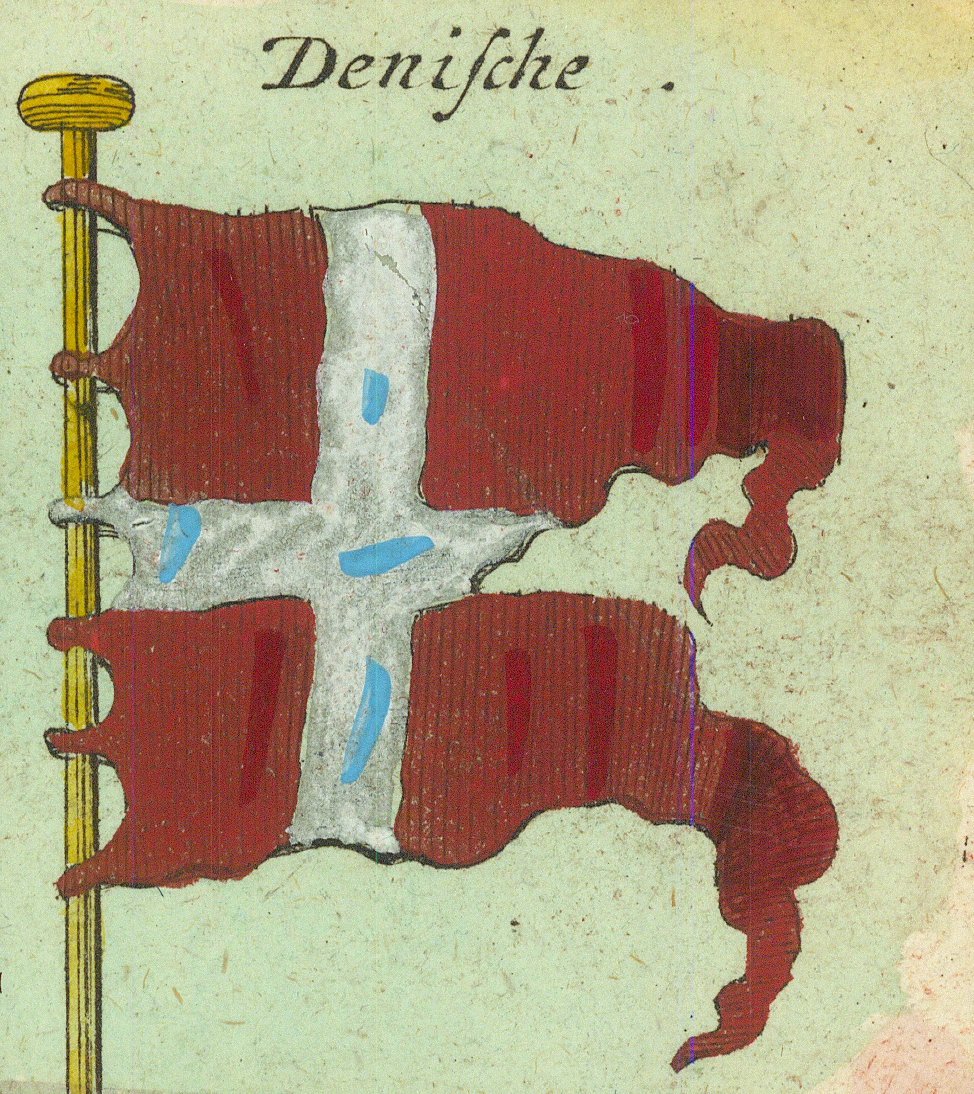
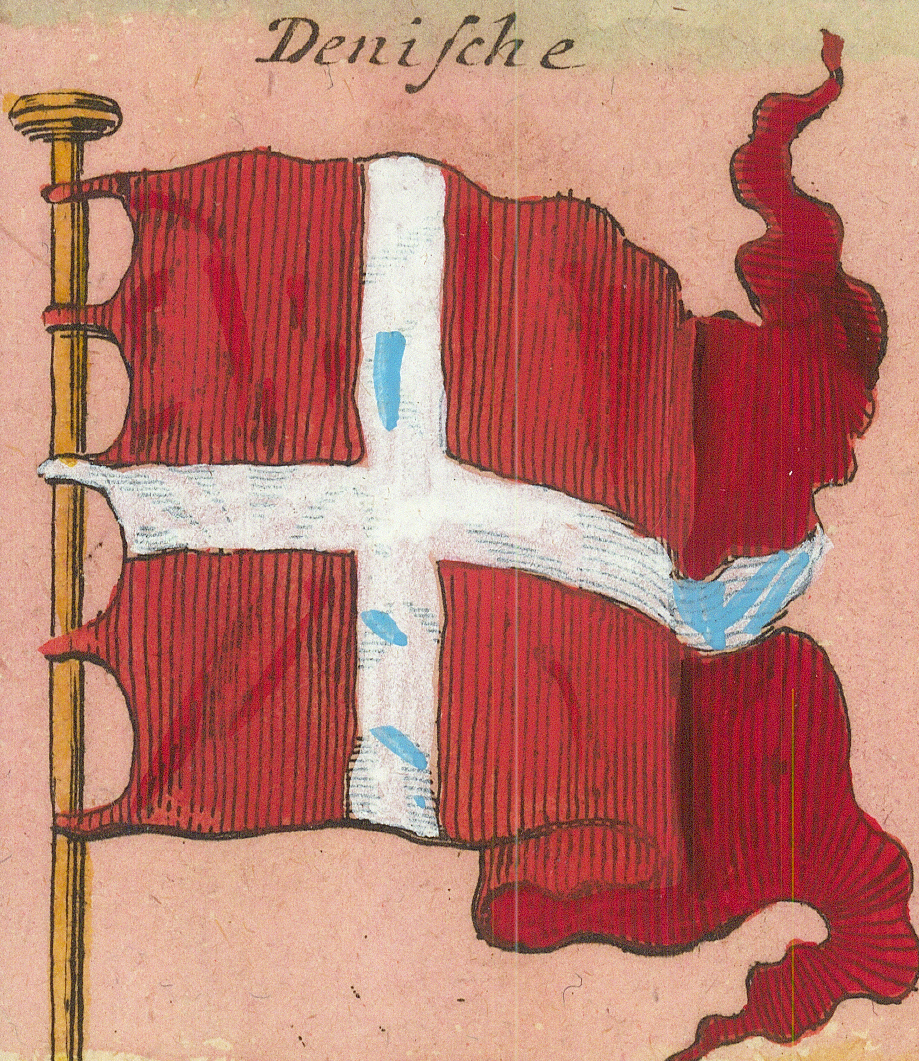
Engl. KauffardeijEnglish merchantmen — red ensignSchottlandScotland — blue ensignSchottische RotheScottish red — ensign with saltire cantonGrüne IrrländischeGreen Irish — the harp on greenEnglische Jac:English jack — the Union flagN: Engl. AdmiralEnglish Admiral — anchor flag, second formWeiße IrrlændischeWhite Irish — the red saltireCalaisCalaisFrantz: v DuijnkirchenFrench of DunkirkMarsilienMarseilleFrantz KauffardeijFrench merchantmenWeiße FrantzoischeWhite French — the plain white ensignGemeine FrantzöischeCommon French — crowned arms on redDenischeDanish — the Dannebrog
Row 3
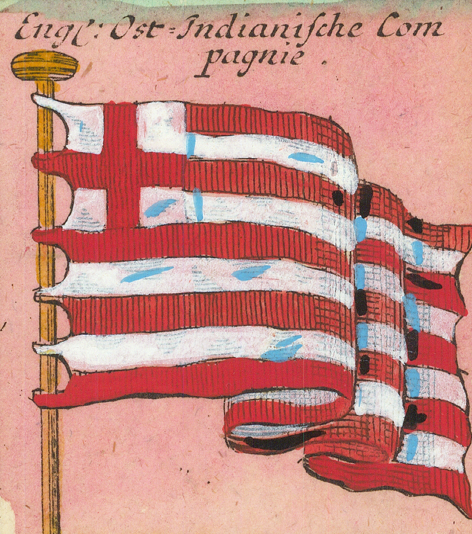
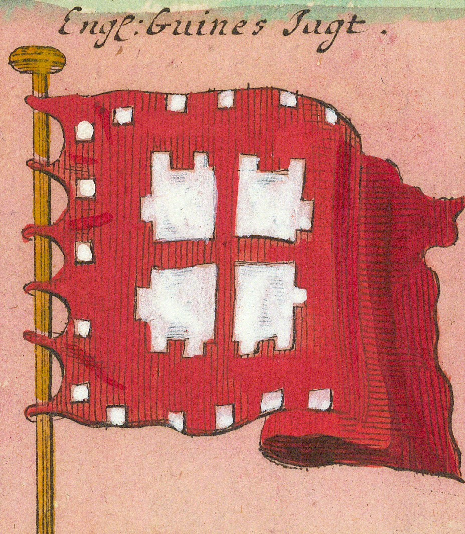
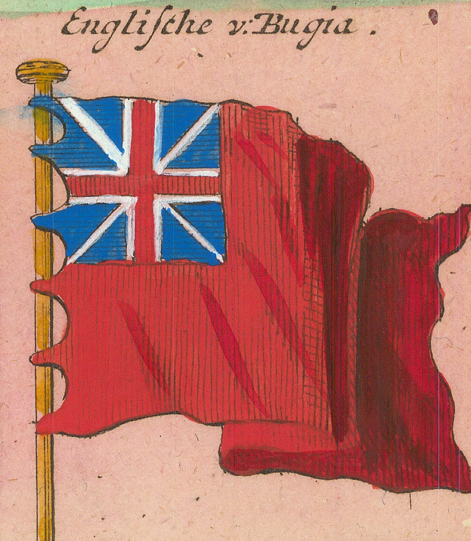
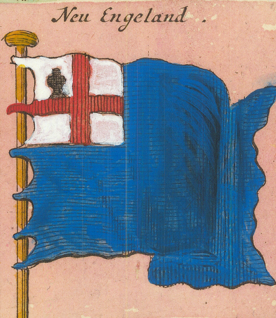
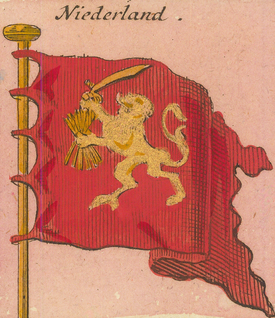
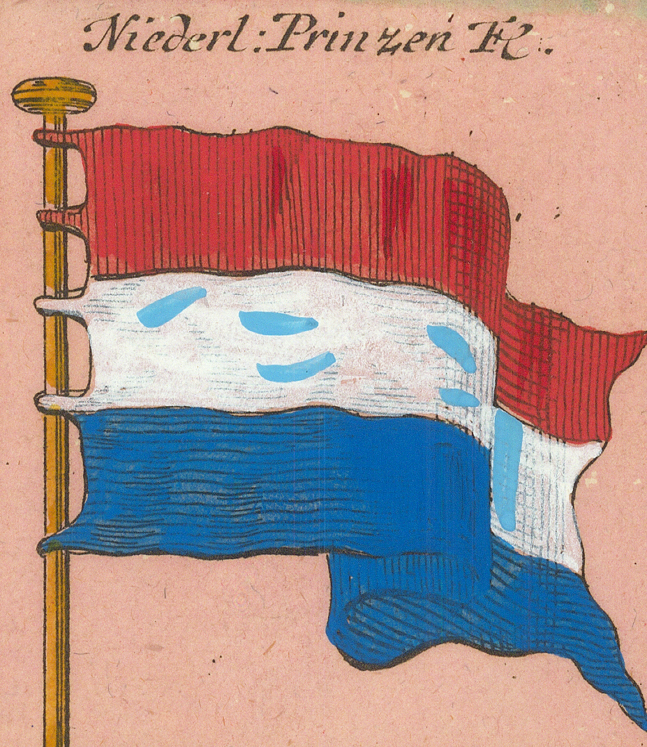
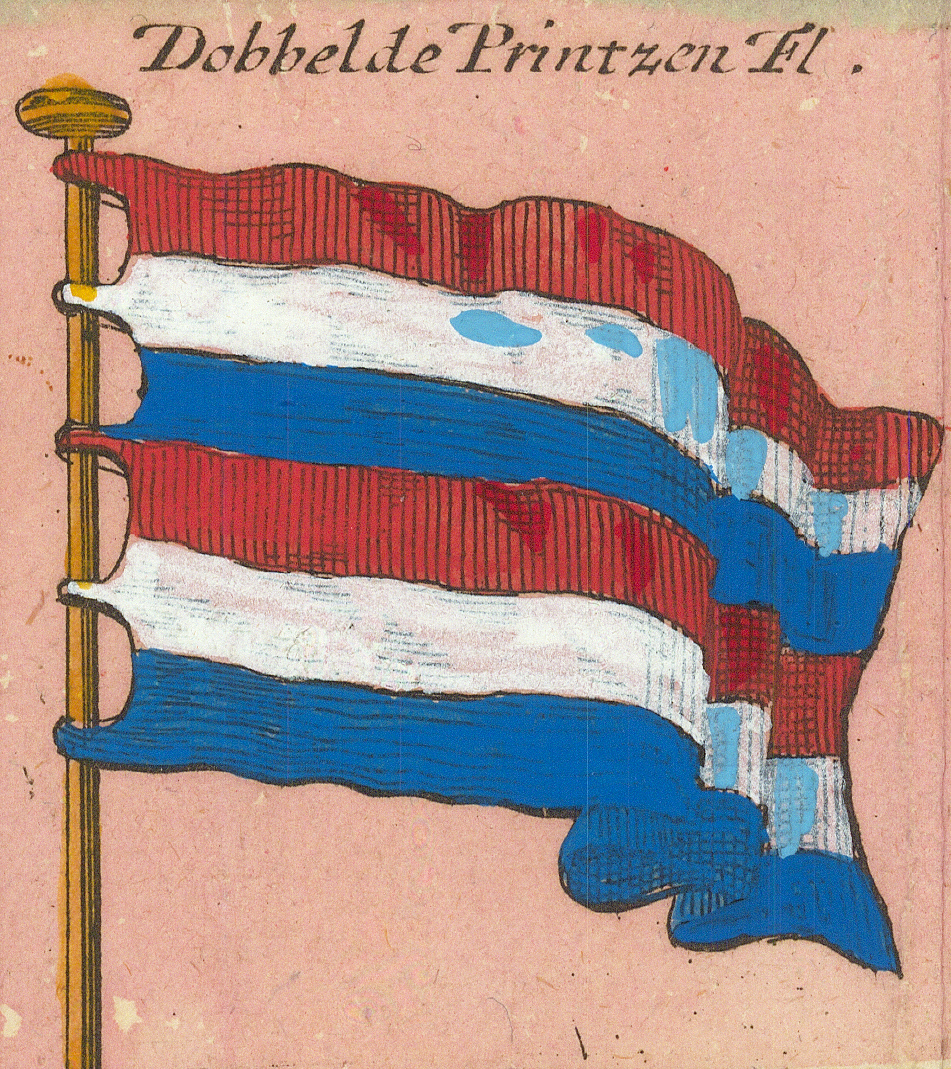
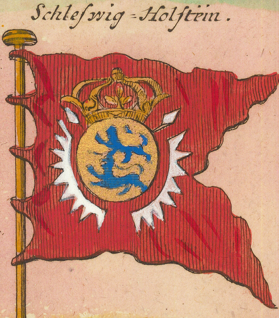
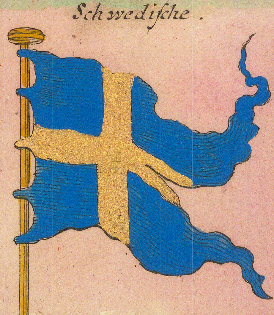
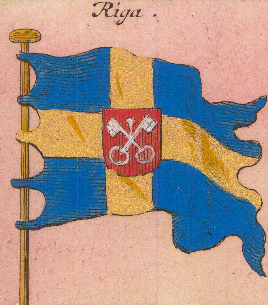
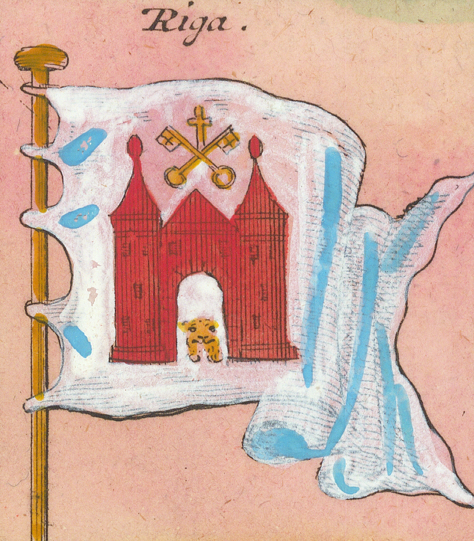
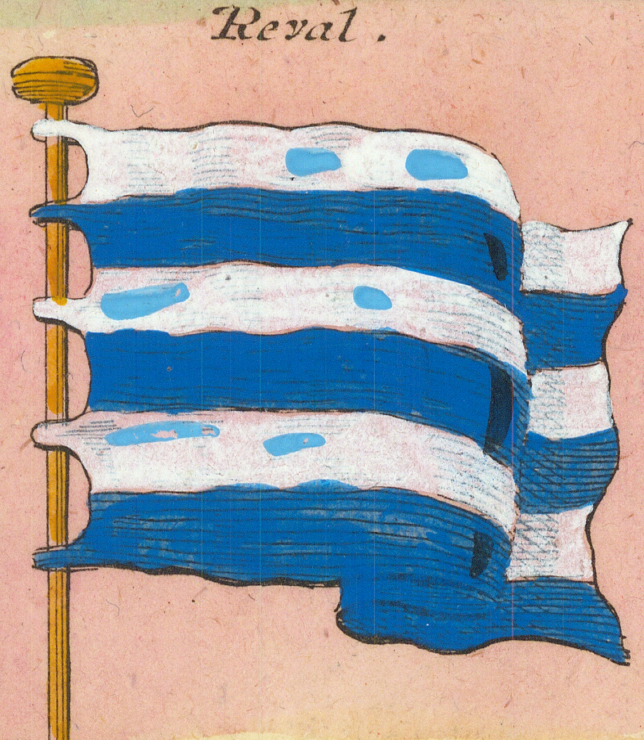
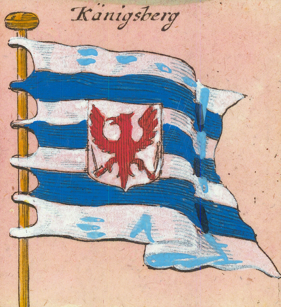
Engl: Ost-Indianische CompagnieEnglish East India Company — striped ensignFlag page →Engl: Guines JagtEnglish Guinea yachtEnglische v. BugiaEnglish of BugiaNeu EngelandNew EnglandNiederlandNetherlands — the lion of the States with sword and arrowsNiederl: Printzen Fl.Dutch Prince's flagDobbelde Printzen Fl.Double Prince's flagDenischeDanish — second formSchleswig-HolsteinSchleswig-Holstein — crowned arms on redSchwedischeSwedish — the yellow crossRigaRiga — cross with the city's keysRigaRiga — second form, with the city armsRevalReval (Tallinn)KänigsbergKönigsberg — with eagle shield
Row 4
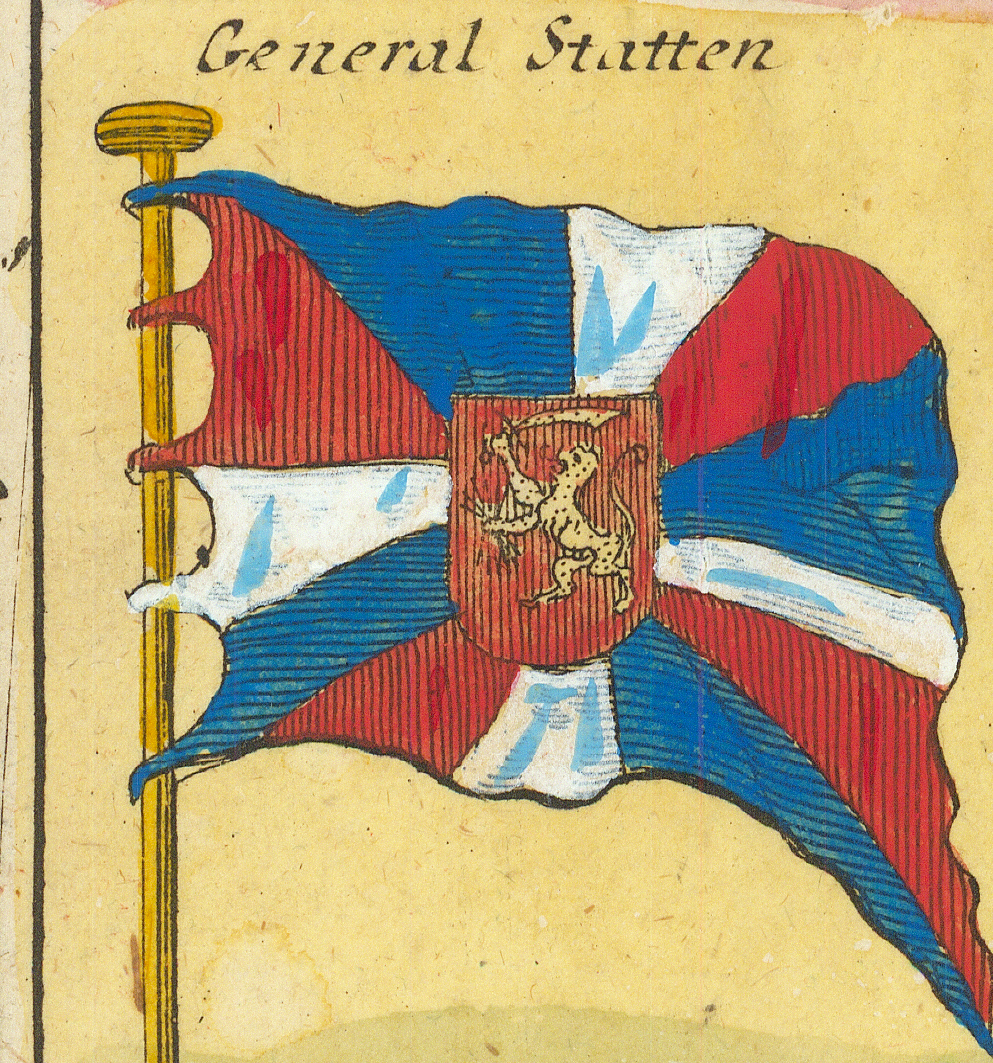
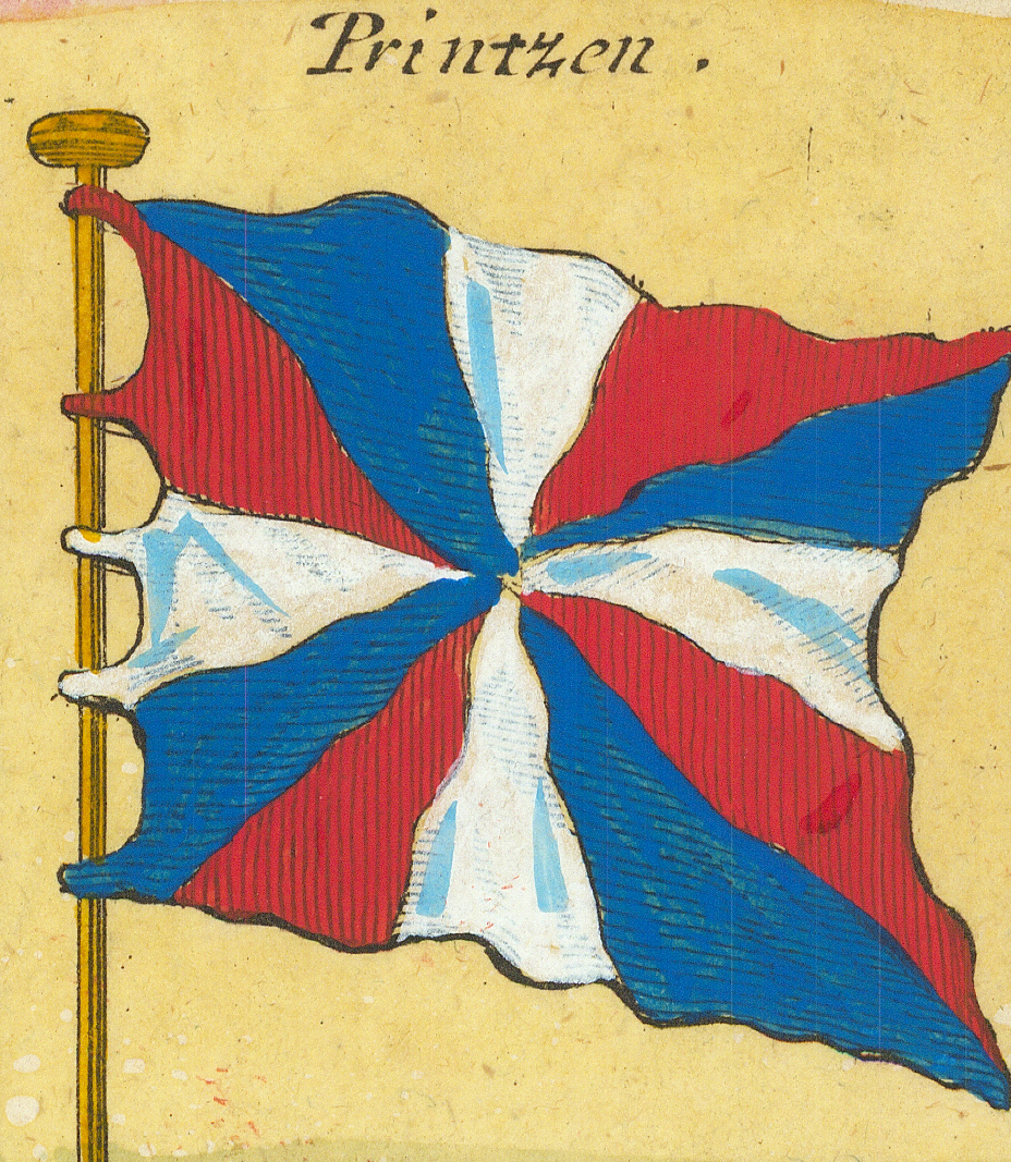
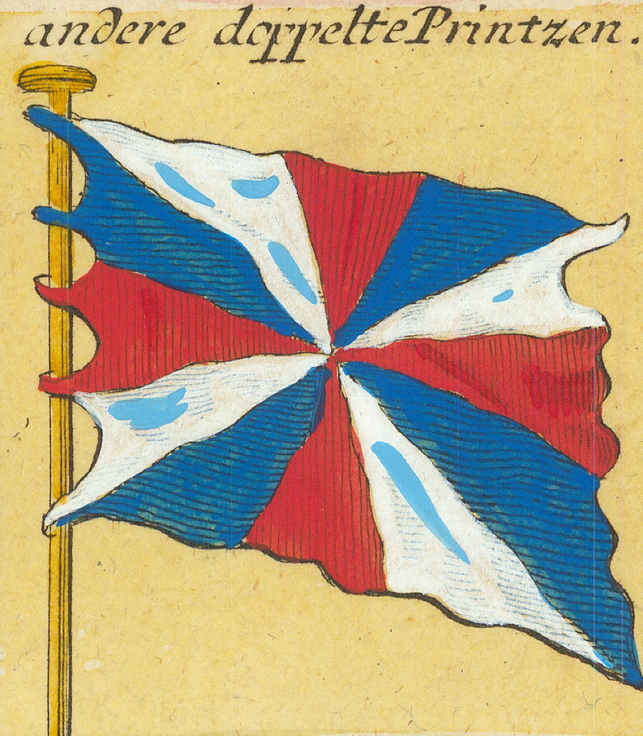
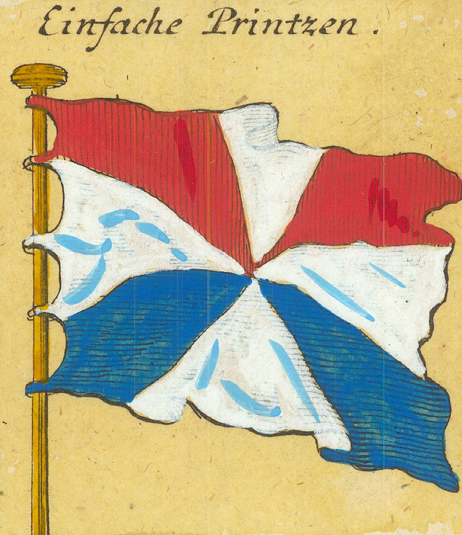
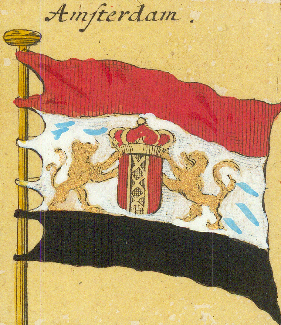
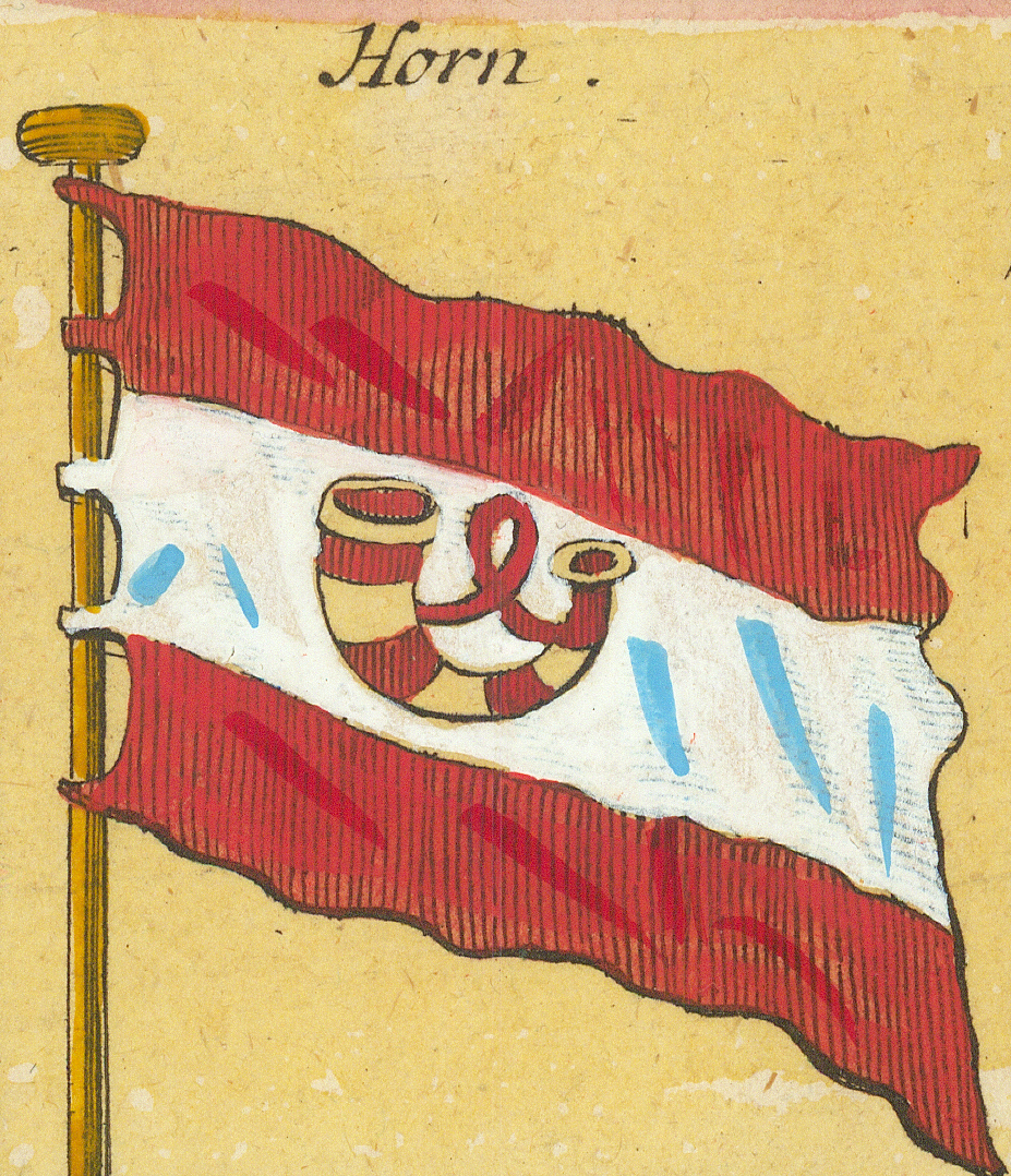
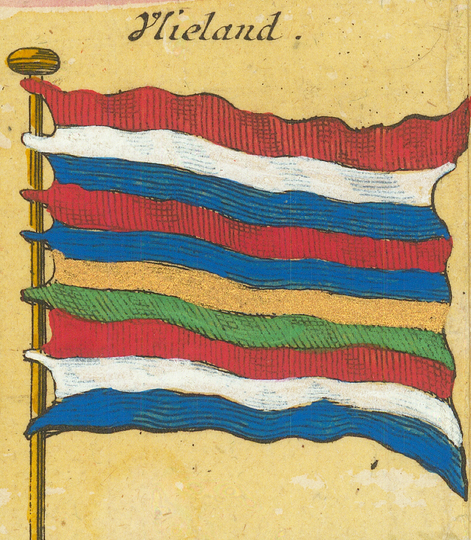
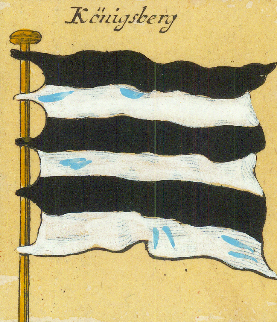
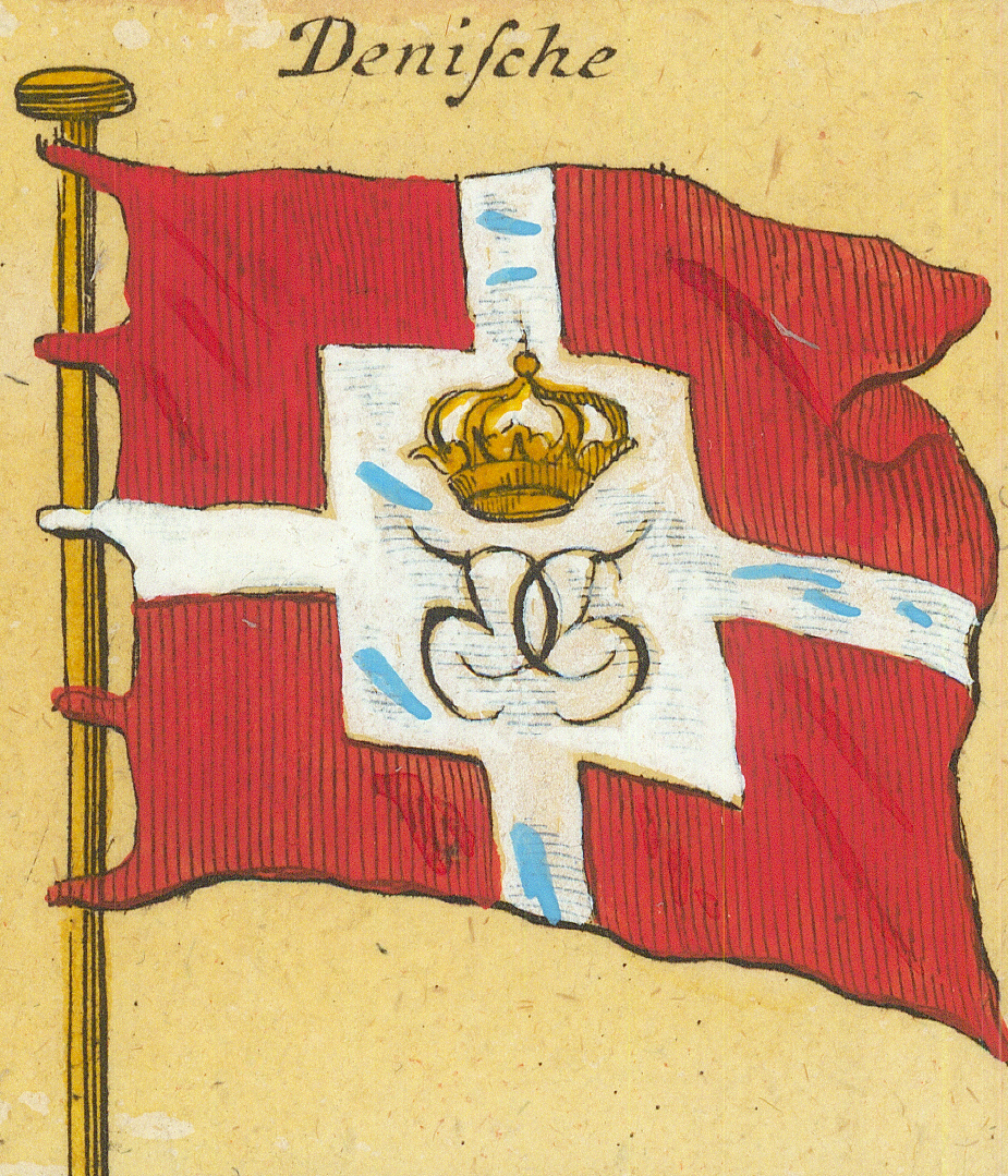
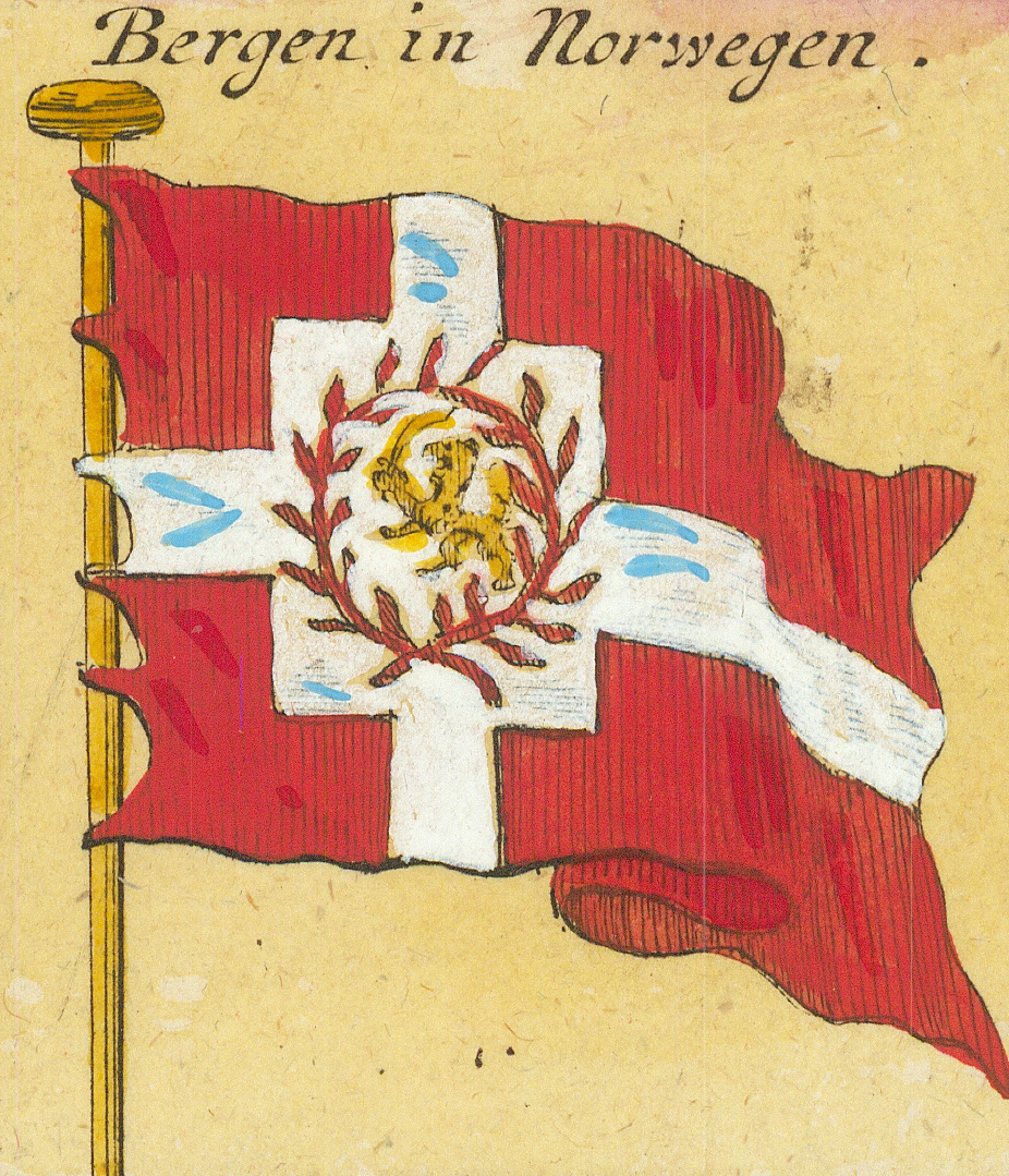
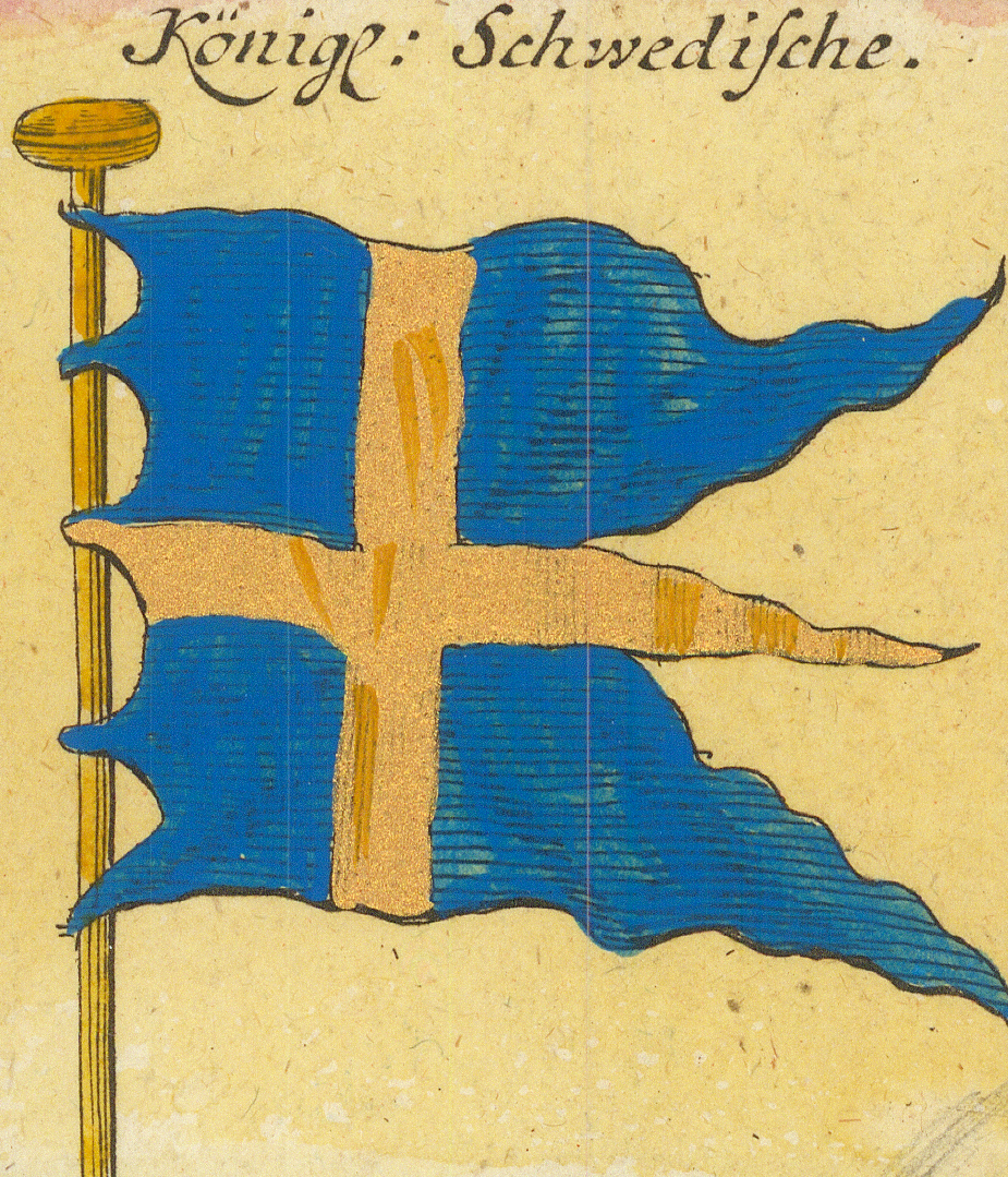
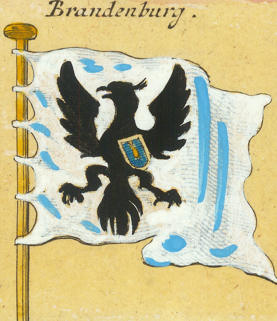
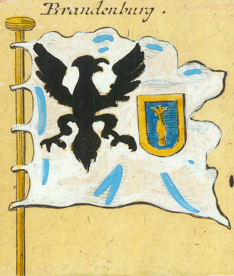
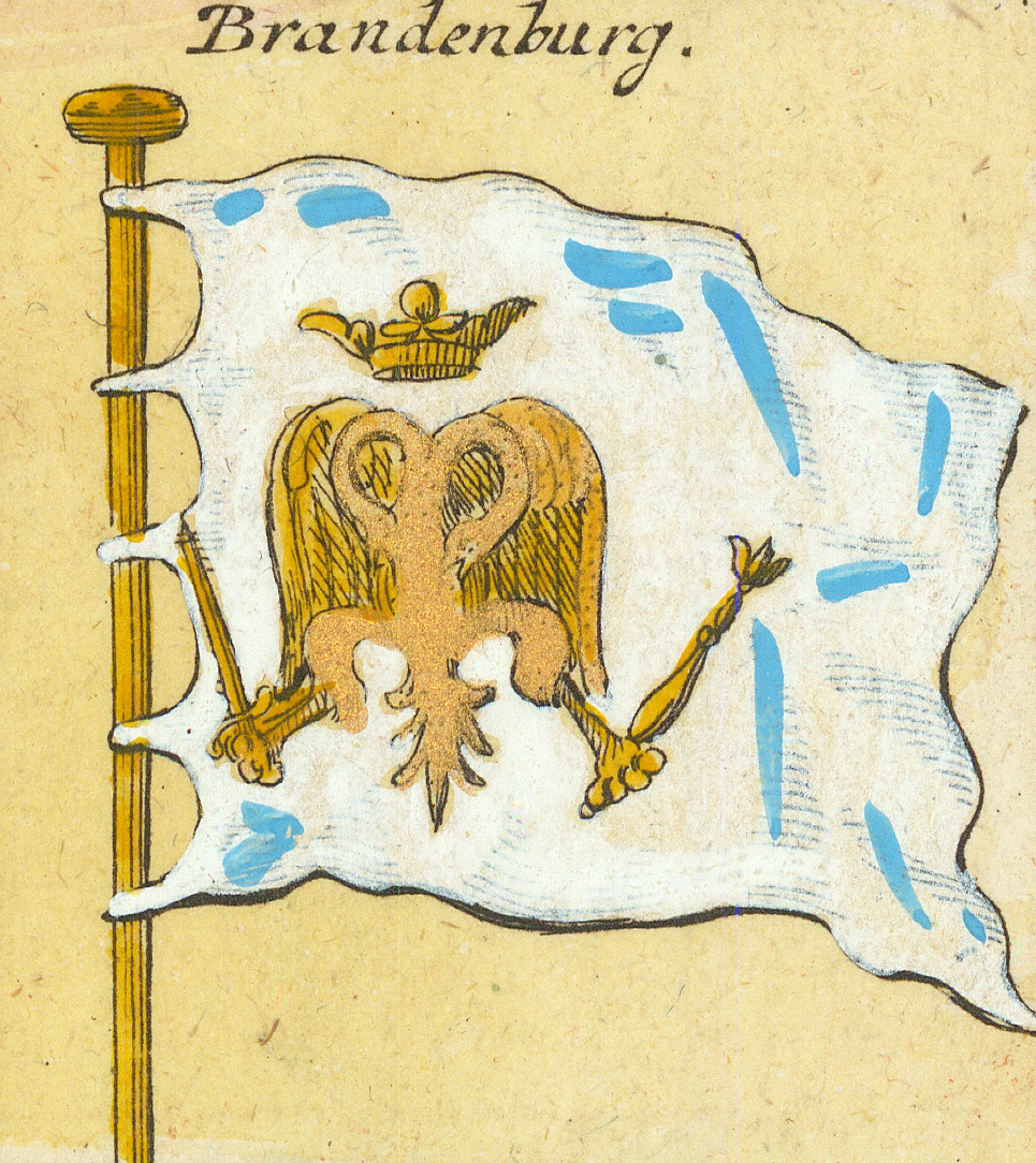
General StattenStates-General — with the lion shieldPrintzenPrince's flag — gyronny formandere doppelte PrintzenAnother double Prince's flagEinfache PrintzenSimple Prince's flagAmsterdamAmsterdam — the crowned city armsHornHoorn — the hornVlielandVlielandKönigsbergKönigsberg — second form, bandedDenischeDanish — with the crowned royal cipherBergen in NorwegenBergen in NorwayKönigl: SchwedischeRoyal Swedish — triple-tailedBrandenburgBrandenburg — black eagleBrandenburgBrandenburg — second formBrandenburgBrandenburg — third form, gold sceptre-eagle
Row 5
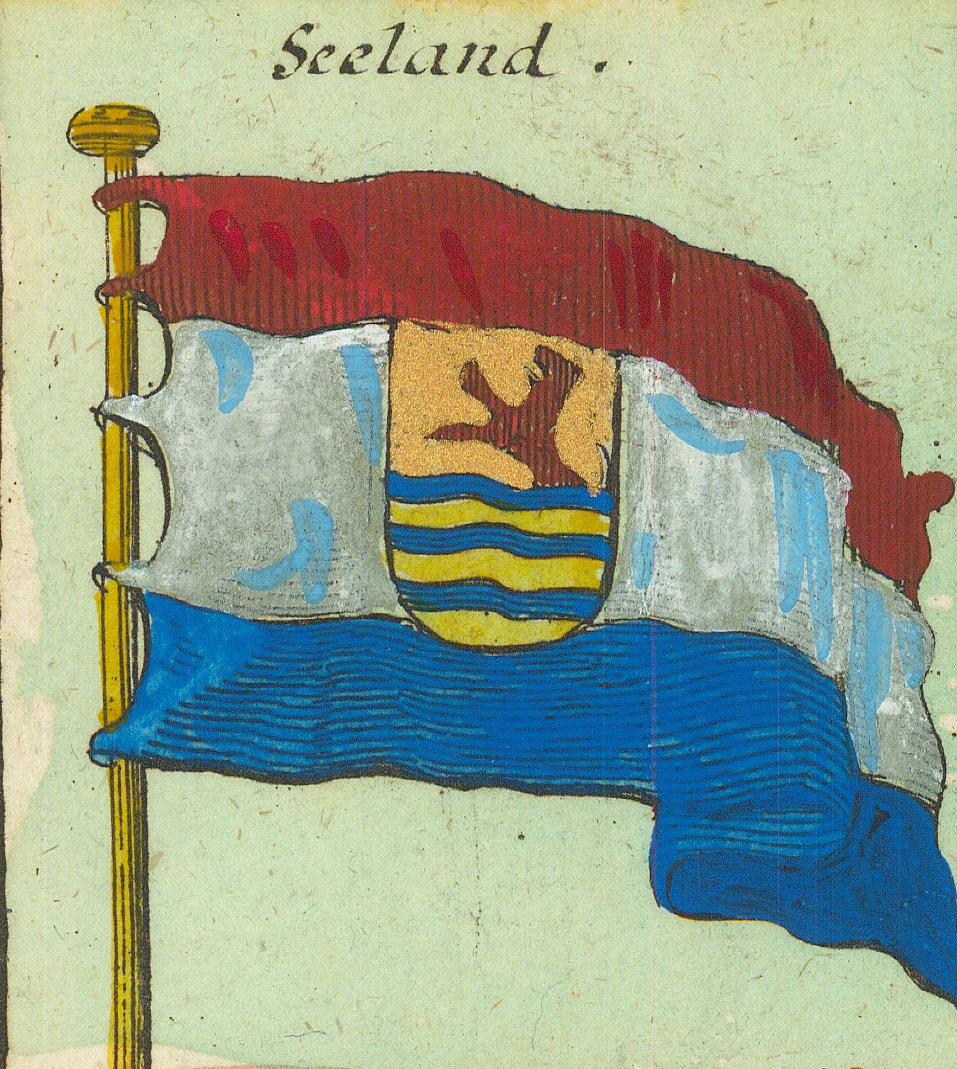
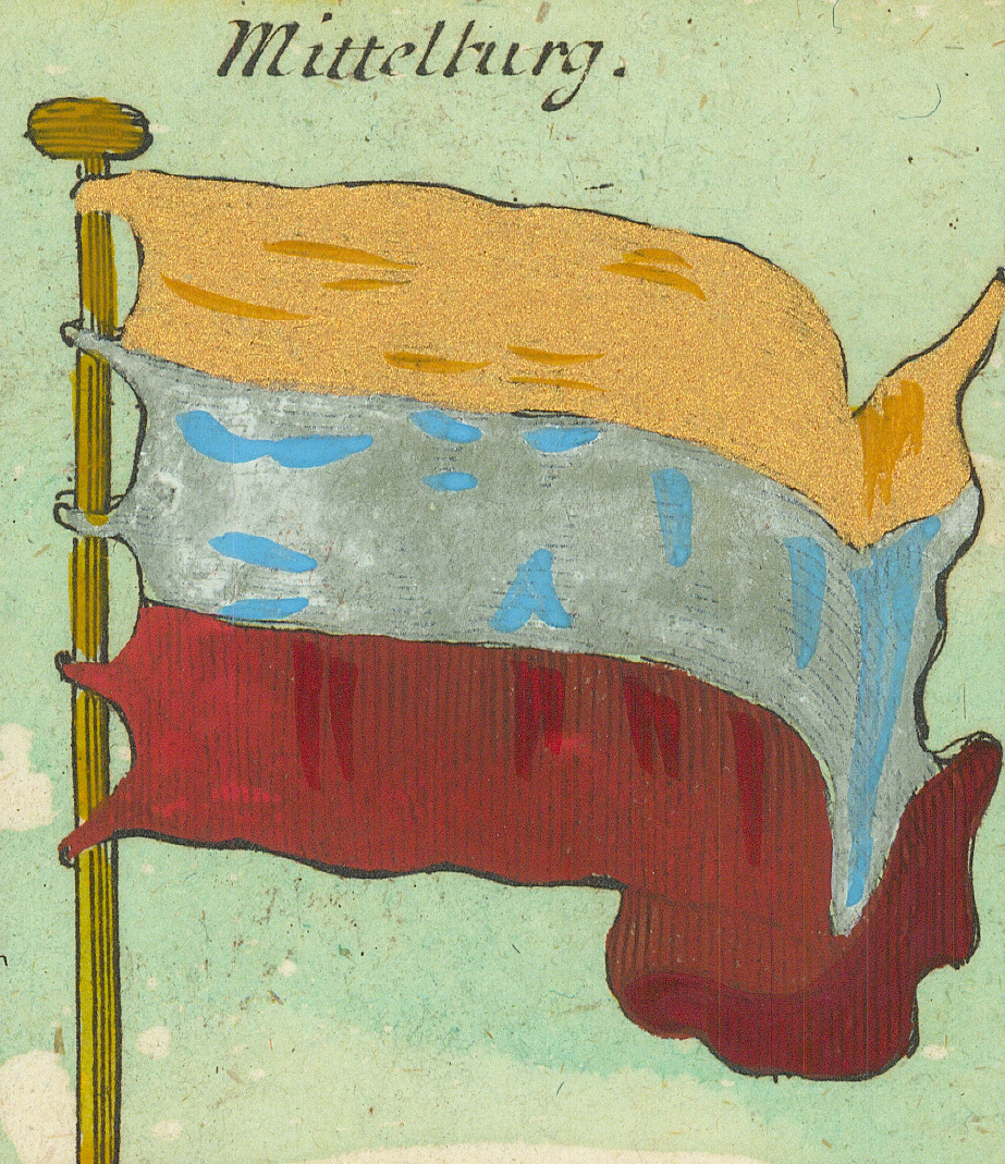
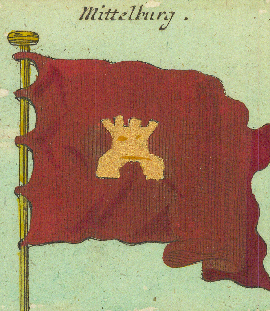
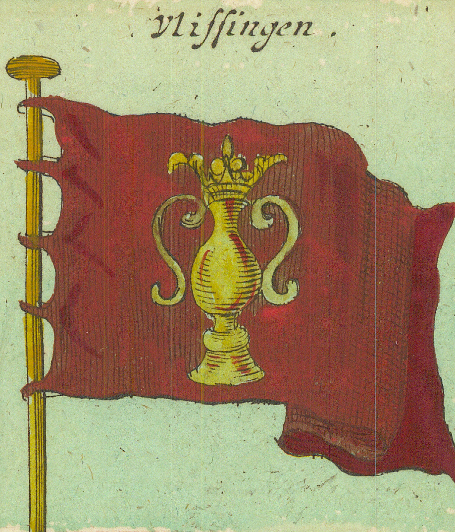
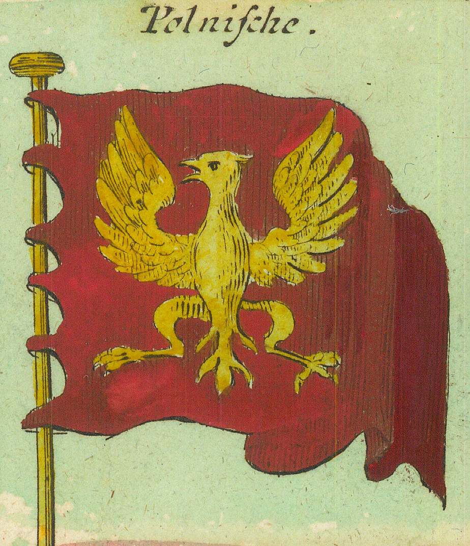
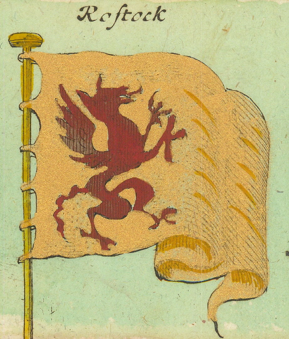
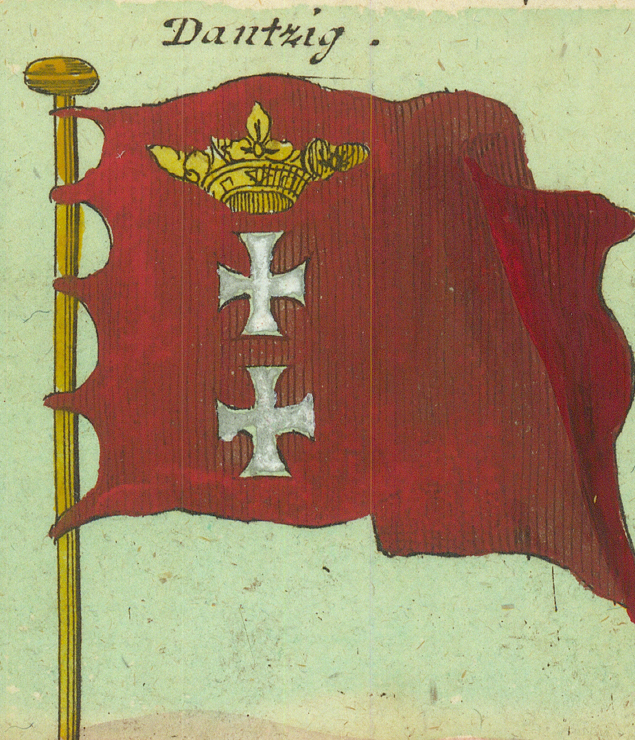
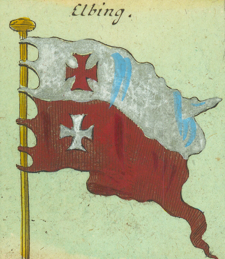
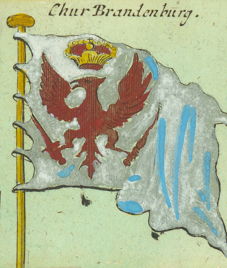
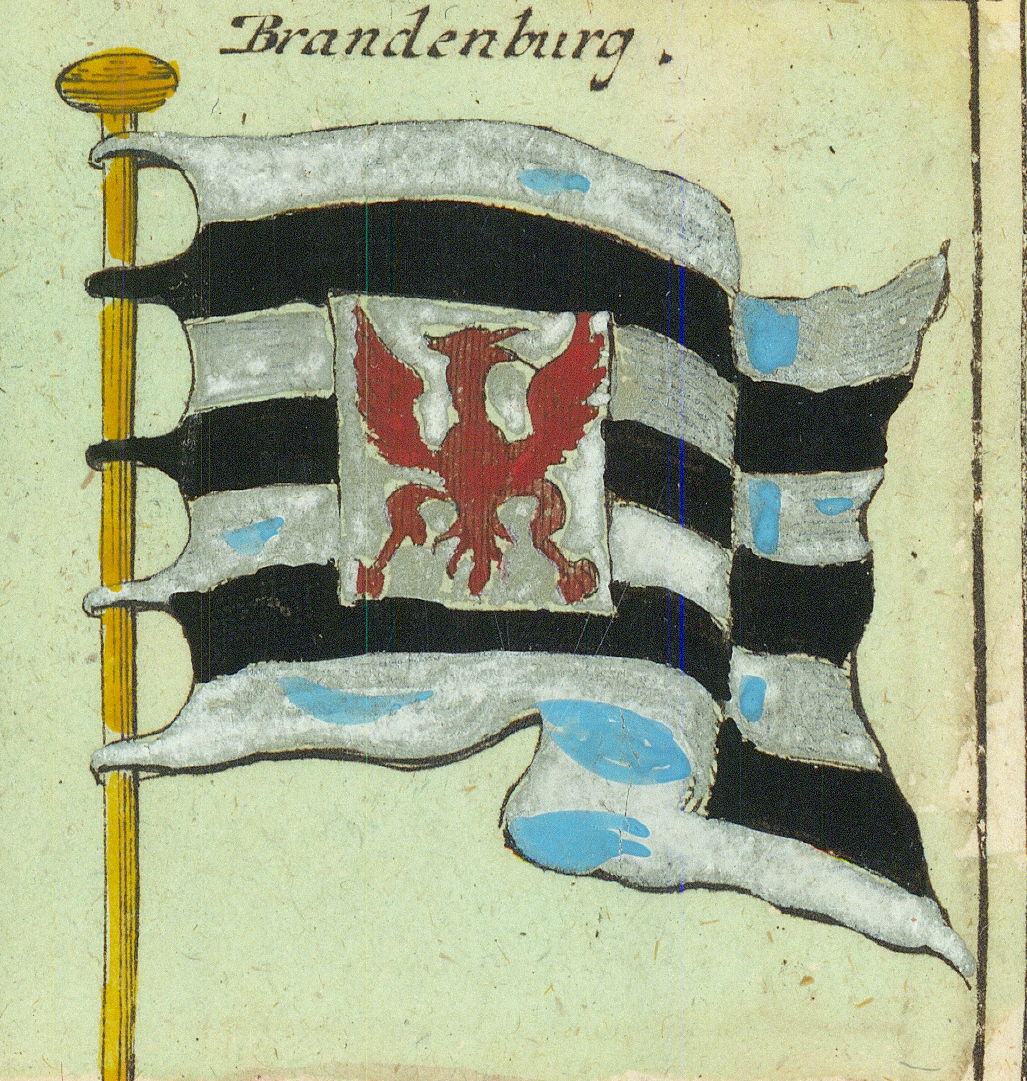
SeelandZeeland — with the half-lion armsMittelburgMiddelburgMittelburgMiddelburg — second form, with the castleVlissingenFlushing (Vlissingen) — the flaskHolländische Ost-Indische CompagnieDutch East India Company — the VOC monogramWest-Indische CompagnieDutch West India Company — the GWC monogramWest FrißlandWest Friesland — gold lions on blueKönigl: PolnischeRoyal Polish — the armed arm with swordPolnischePolish — the white eagleRostockRostock — the griffinDantzigDanzig (Gdańsk) — crown and crossesElbingElbing (Elbląg)Chur BrandenburgElectoral Brandenburg — the crowned red eagleBrandenburgBrandenburg — fourth form, banded with escutcheon
Row 6
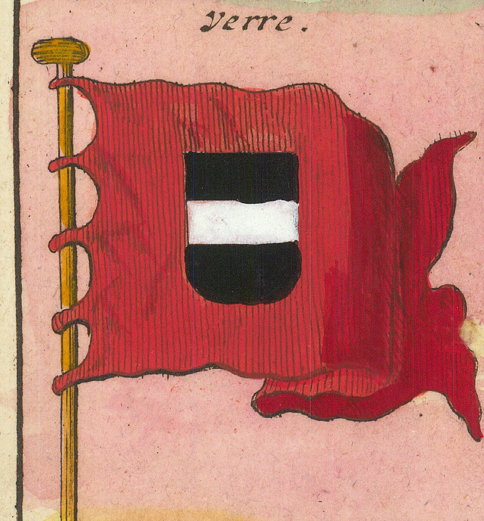
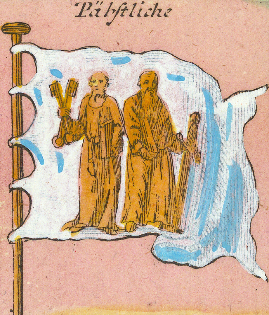
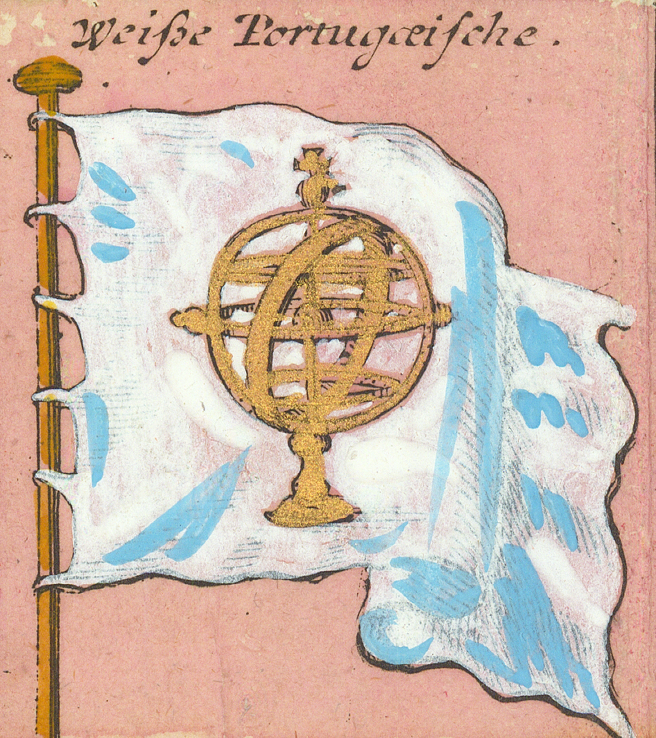
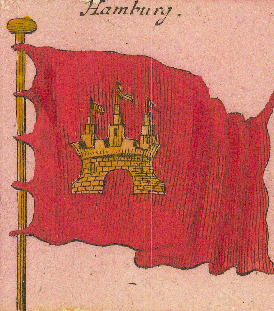
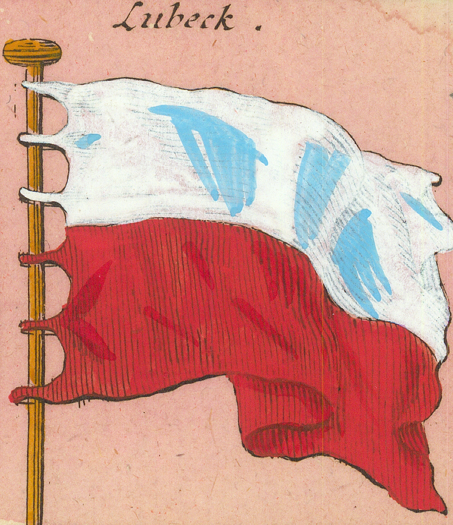
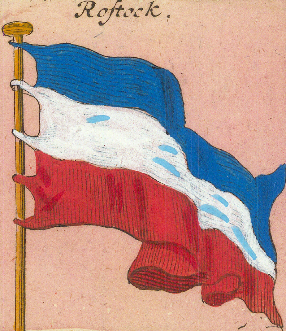
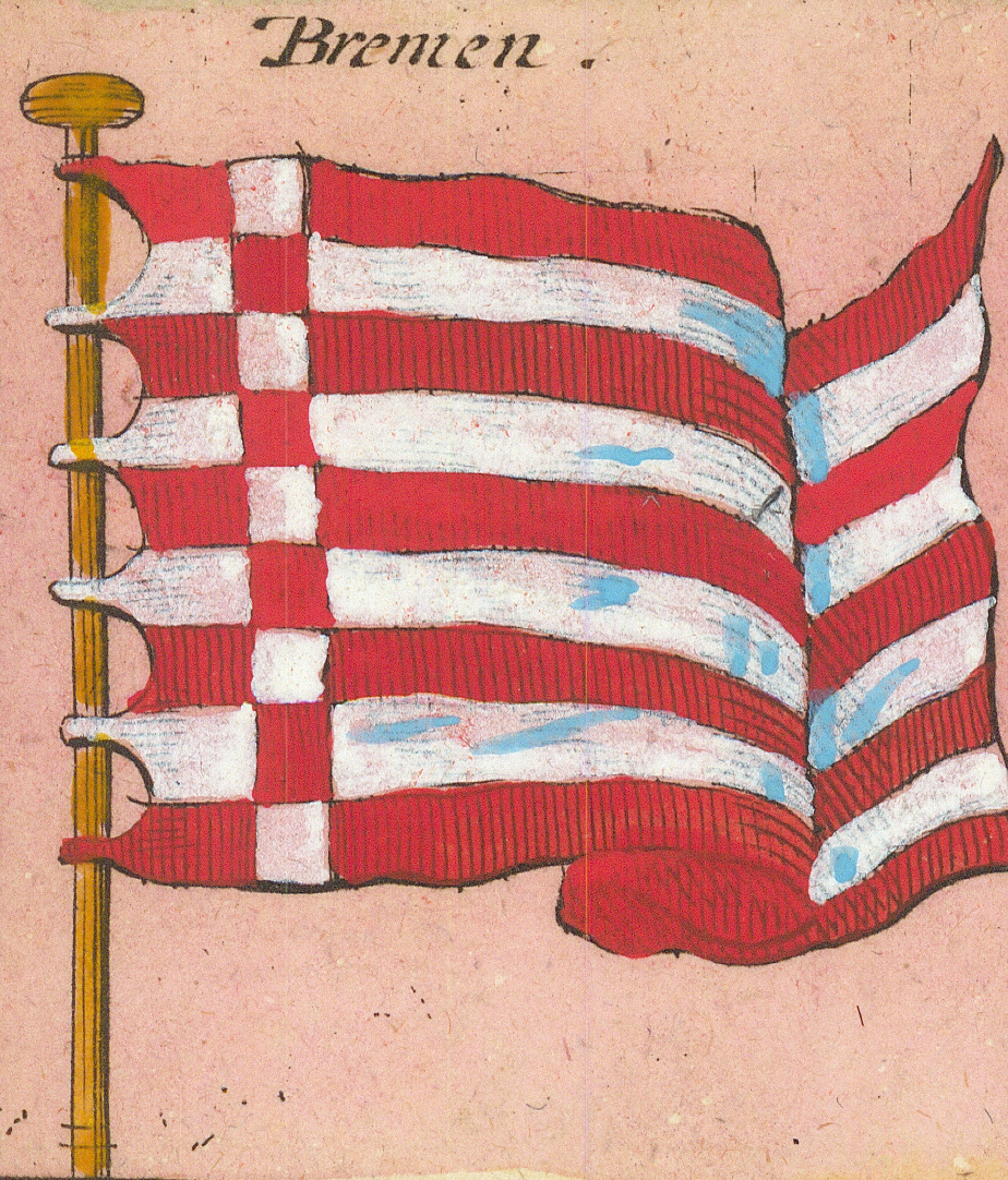
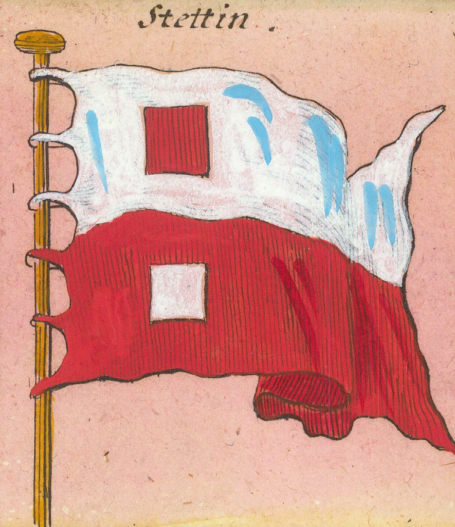
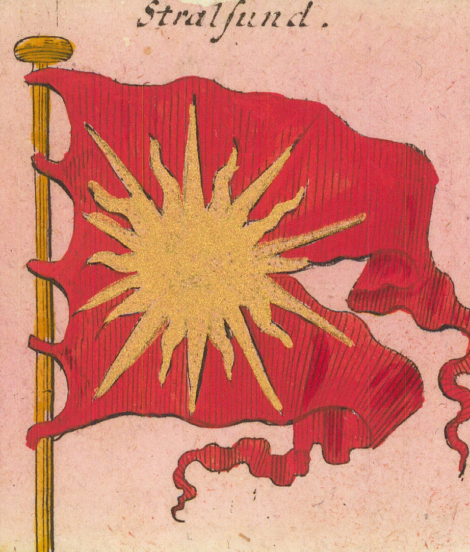
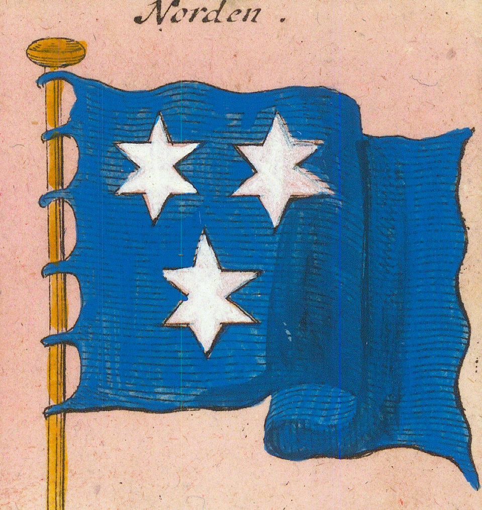
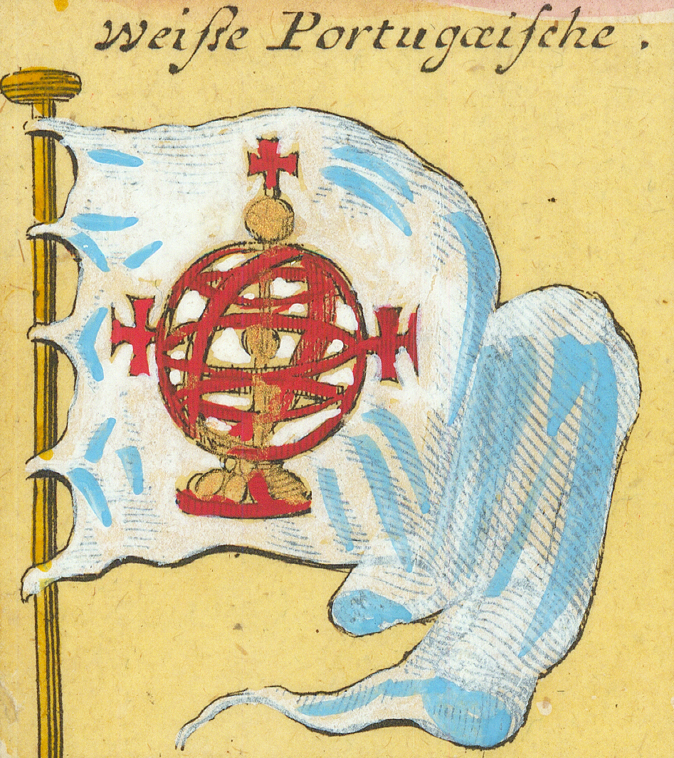
VerreVeere (Zeeland)PäbstlichePapal — Saints Peter and PaulKaijserlicheImperial — the double eagleKönigl: SpanischeRoyal Spanish — crowned armsFlag page →Castilien u: LeonCastile and LeónKönigl: PortugäischeRoyal Portuguese — crowned armsWeiße PortugæischeWhite Portuguese — the armillary sphereHamburgHamburg — the castleLubeckLübeckRostockRostock — second form, bandedBremenBremen — stripes and checksStettinStettin (Szczecin)StralsundStralsund — the sunburst (Strahl)NordenNorden (East Frisia)
Row 7
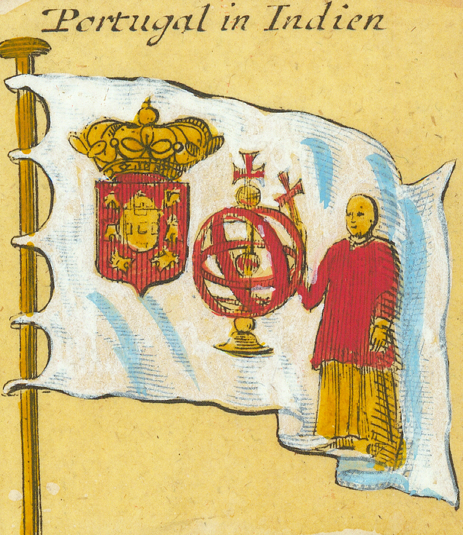
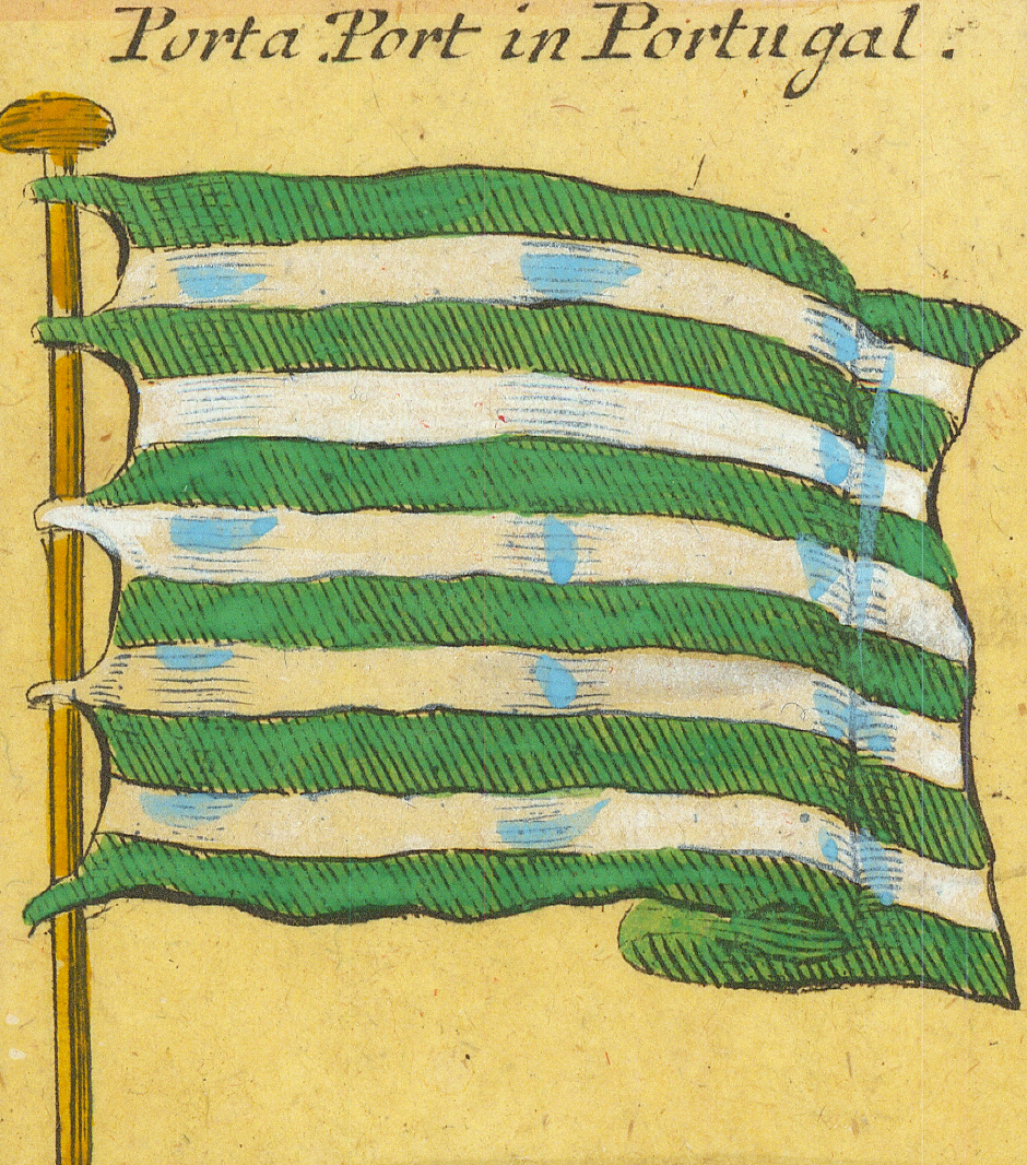
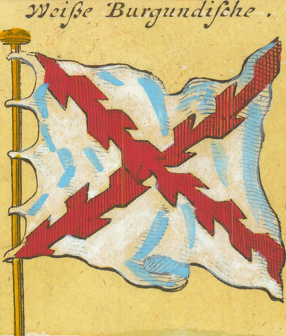
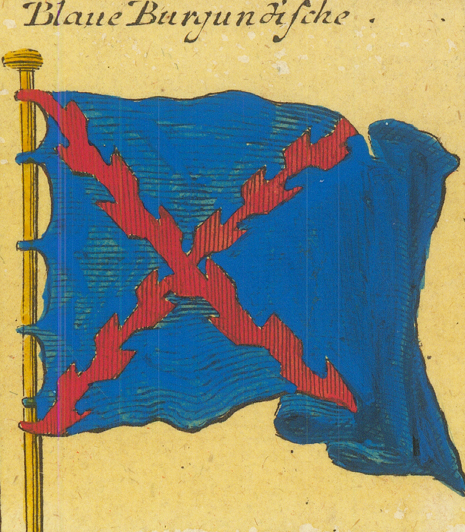
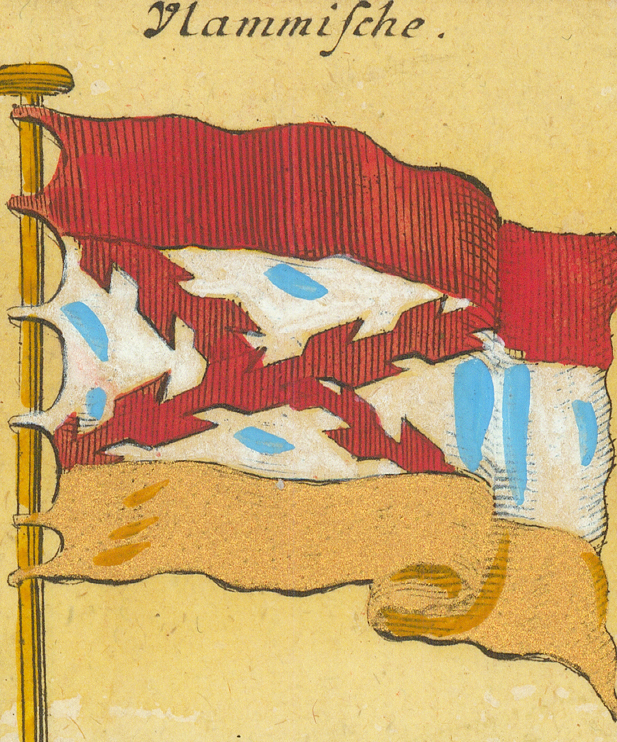
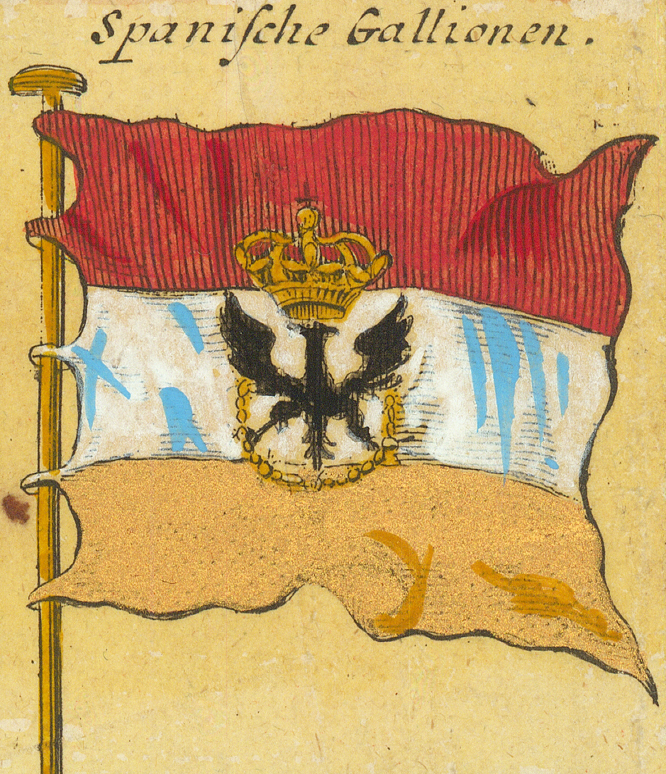
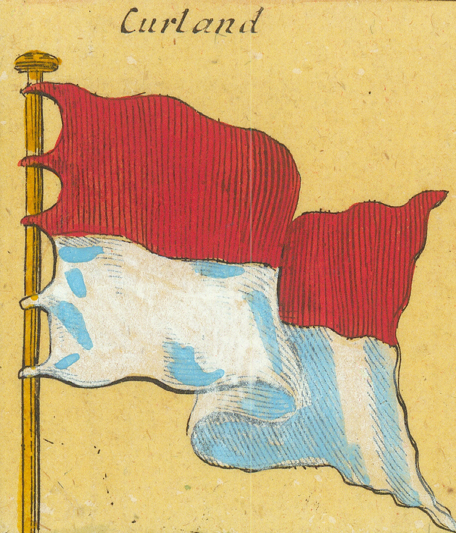
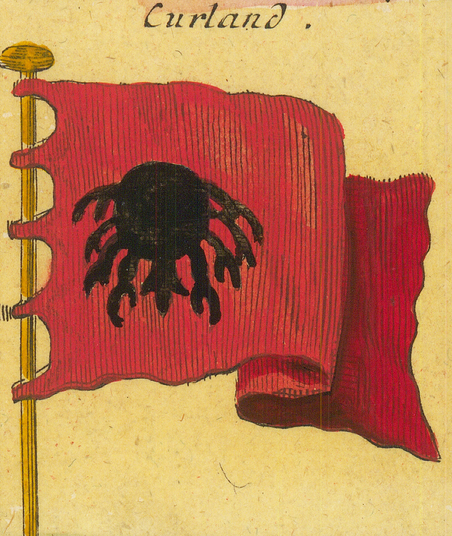
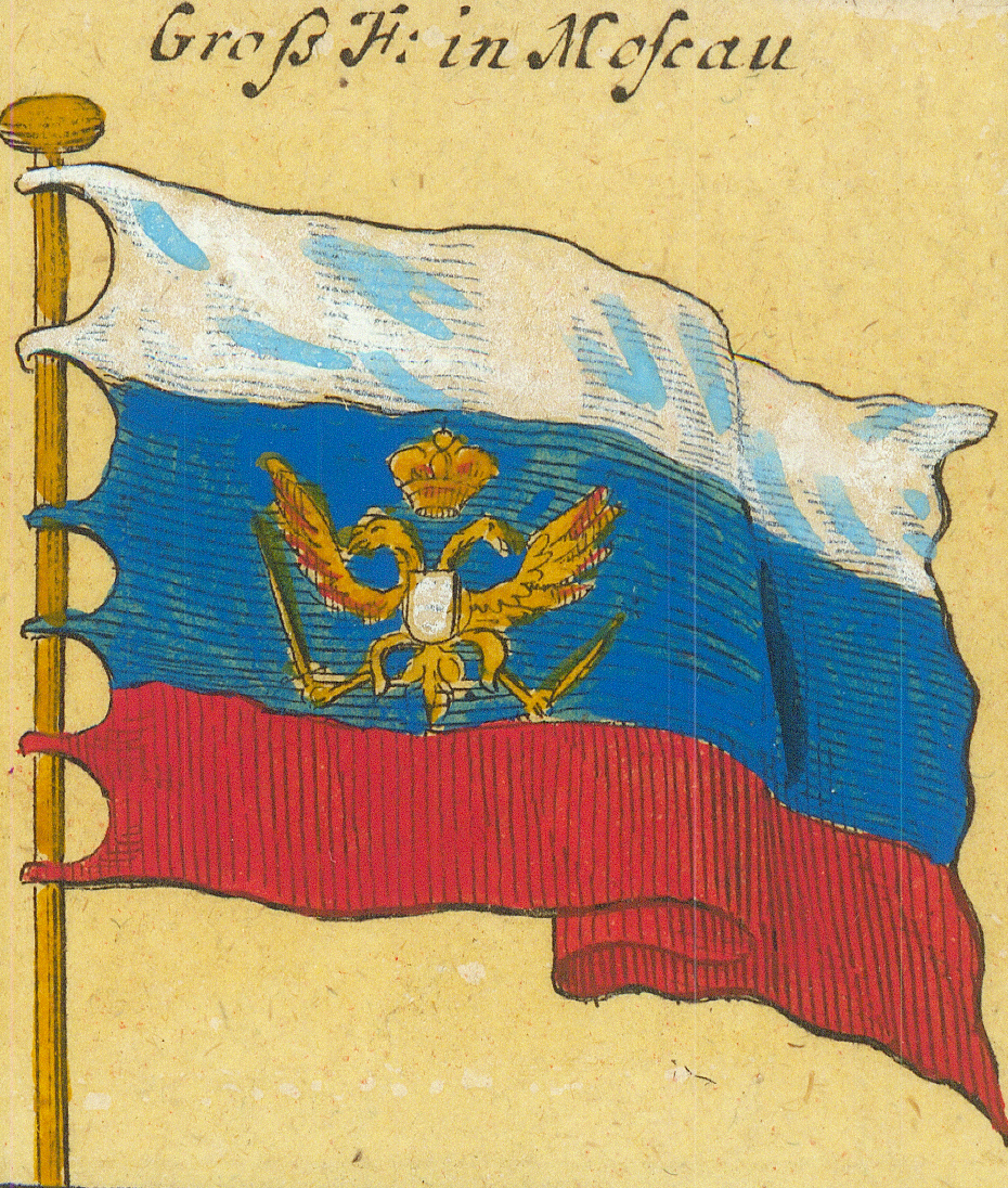
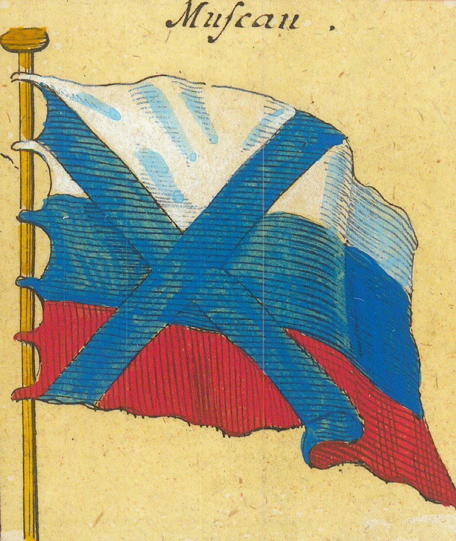
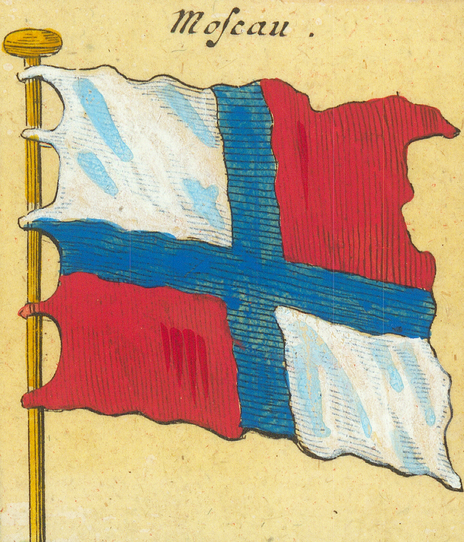
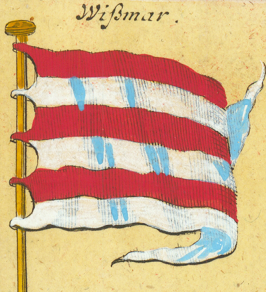
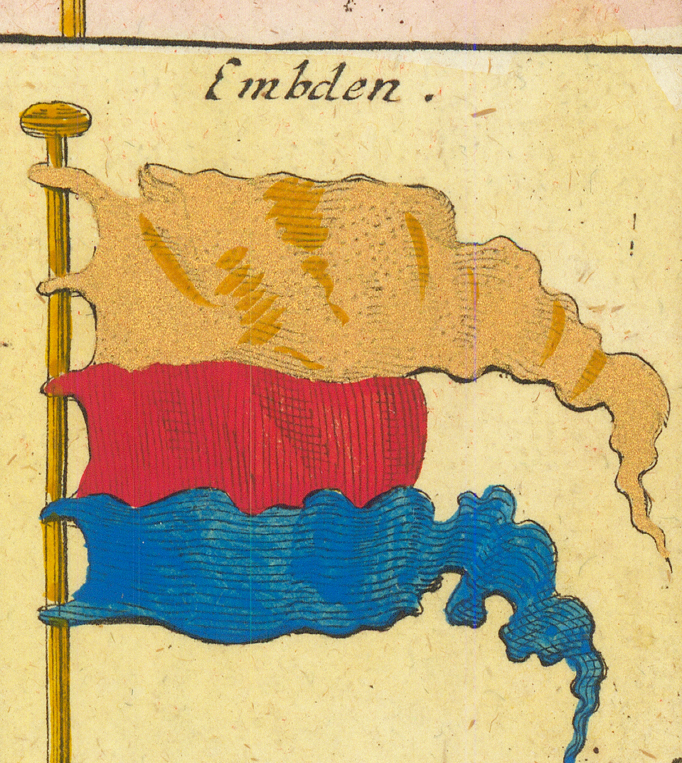
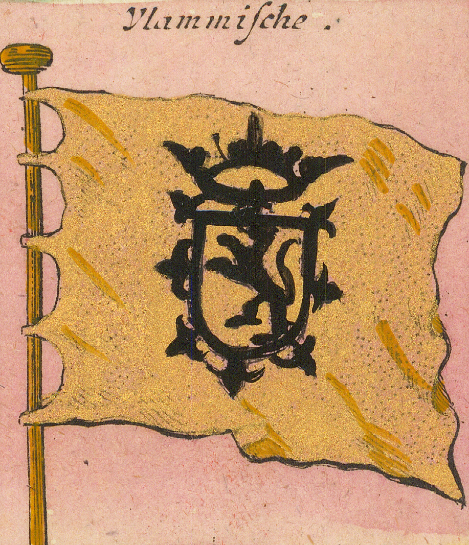
Weiße PortugæischeWhite Portuguese — second formPortugal in IndienPortugal in IndiaPorta Port in Portugal:Porto in PortugalWeiße BurgundischeWhite Burgundian — the Cross of BurgundyBlaue BurgundischeBlue BurgundianVlammischeFlemish — with the ragged saltireSpanische GallionenSpanish galleonsCurlandCourlandCurlandCourland — second form, with the crabGroß F: in MoscauGrand Duke of Muscovy — tricolour with the eagleMuscauMuscovy — saltire over the tricolourMoscauMuscovy — second form, quartered by a blue crossWißmarWismarEmbdenEmden
Row 8
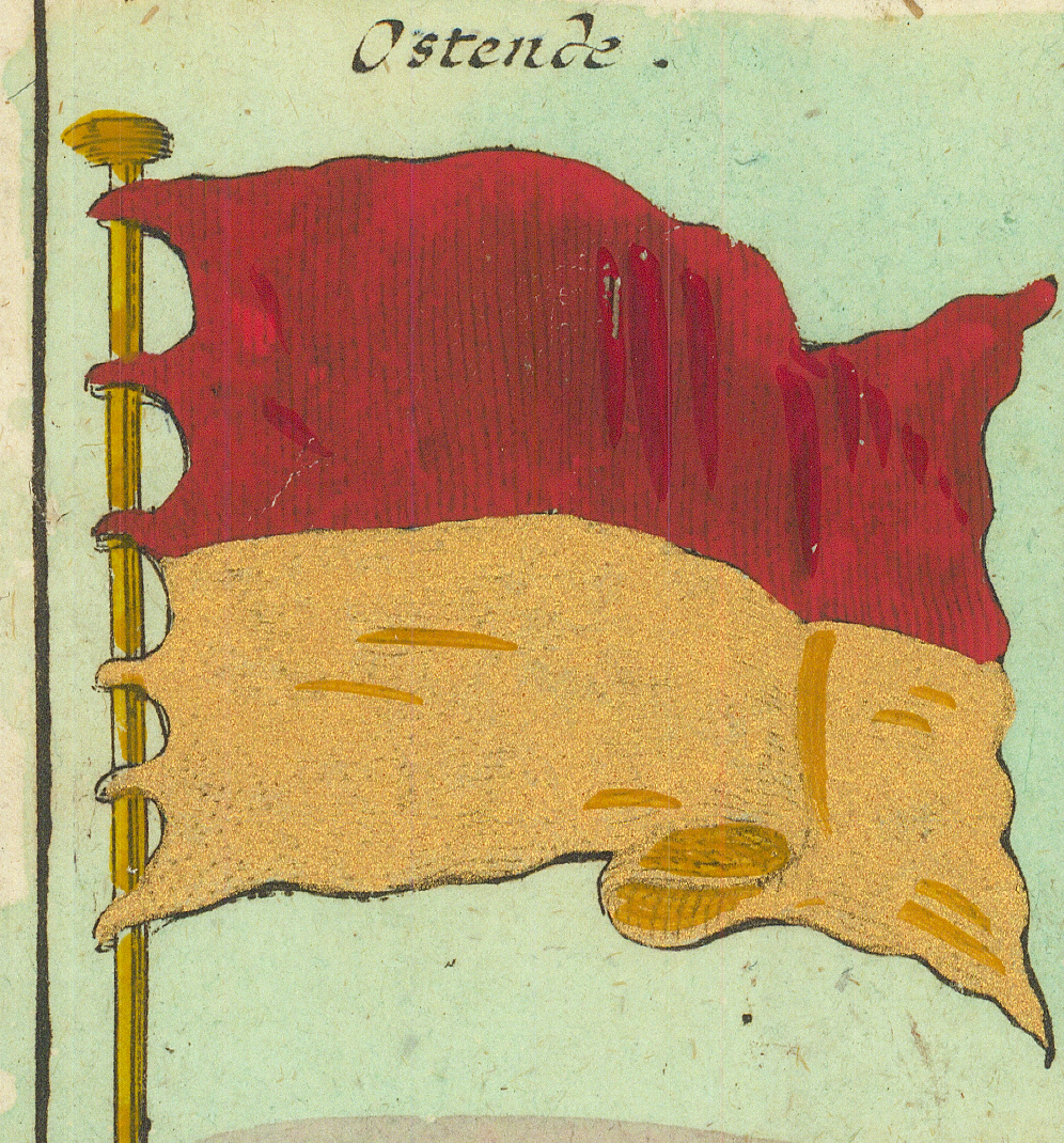
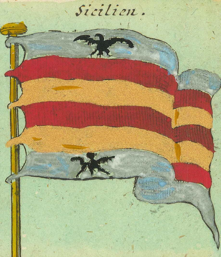
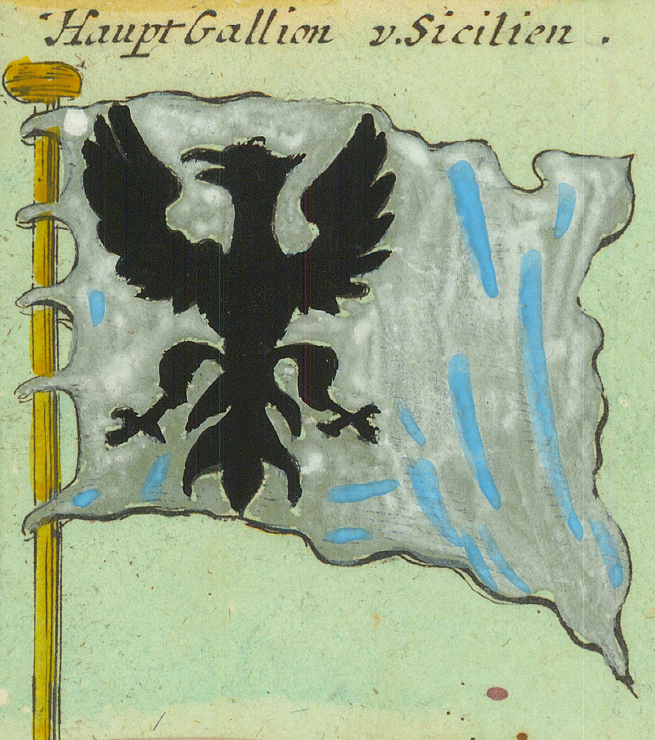
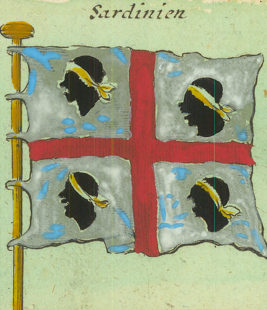
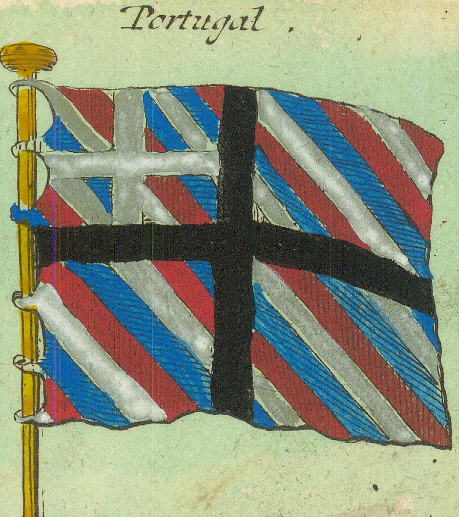
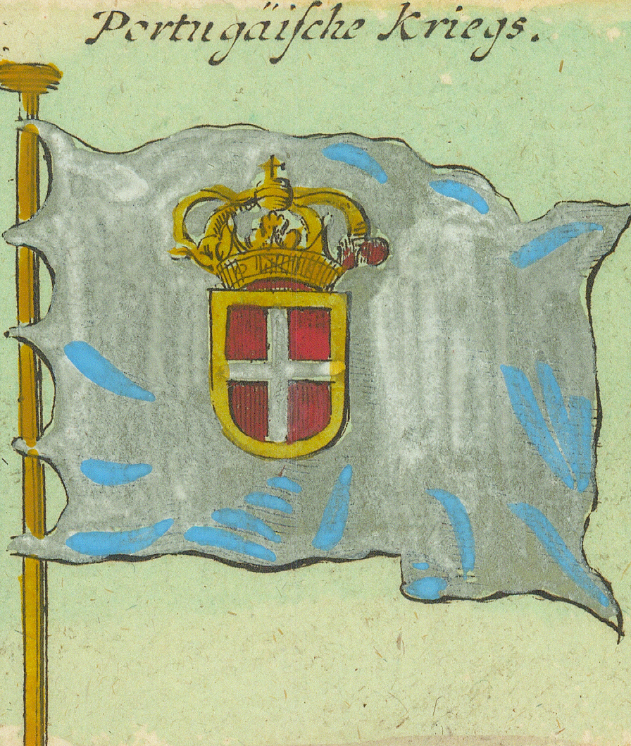
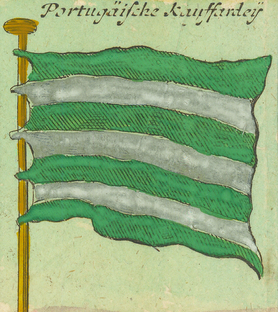
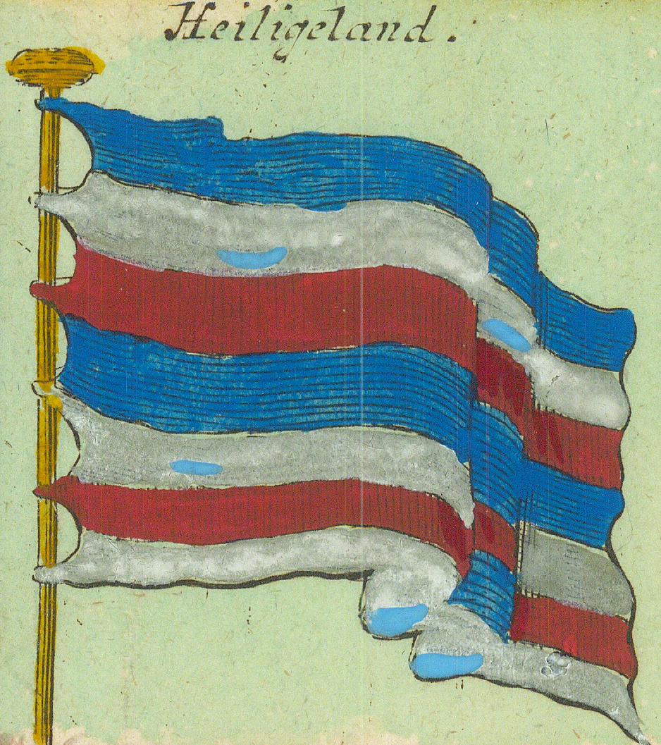
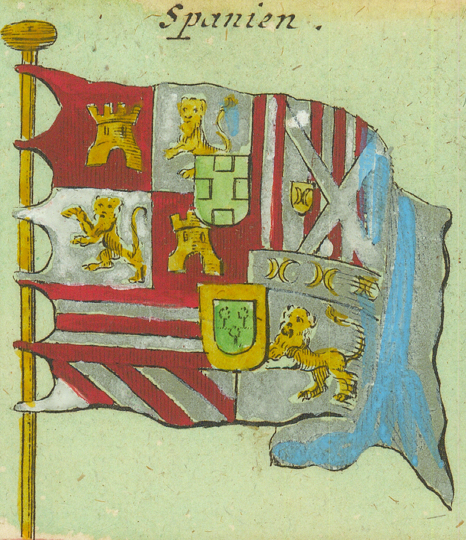
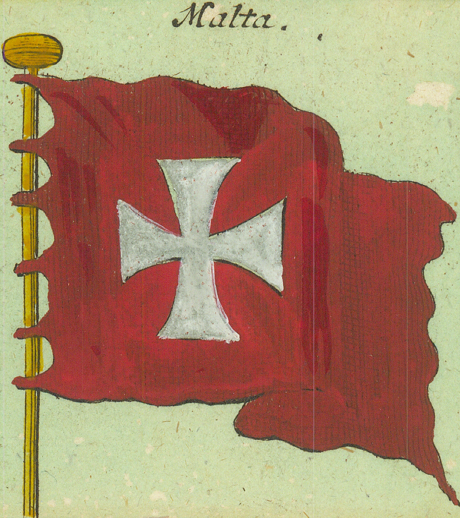
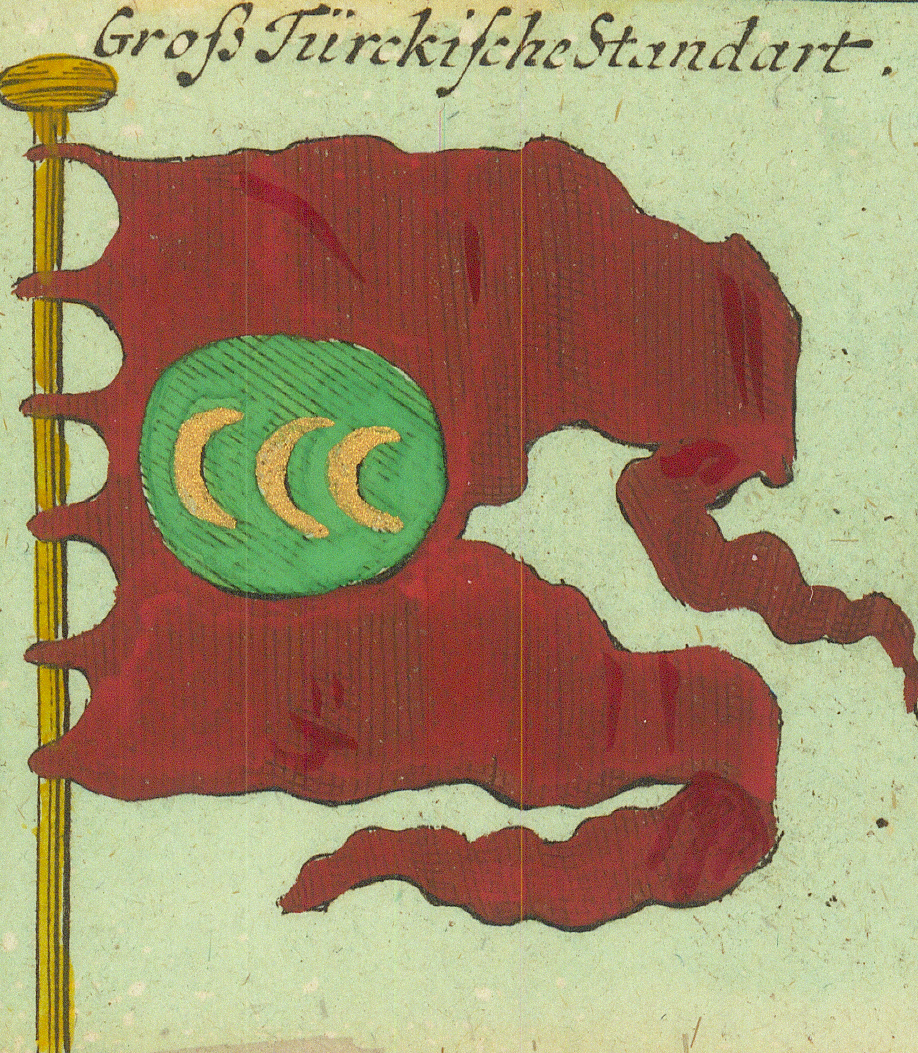
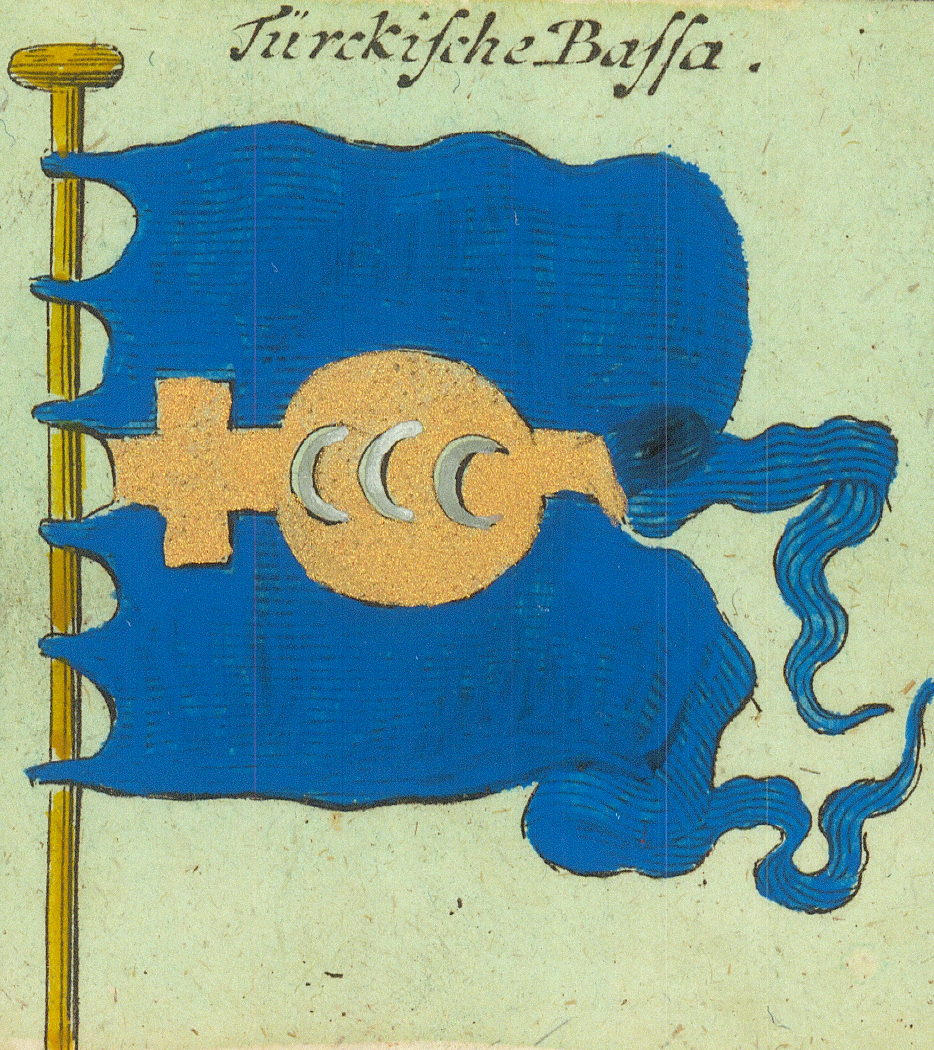
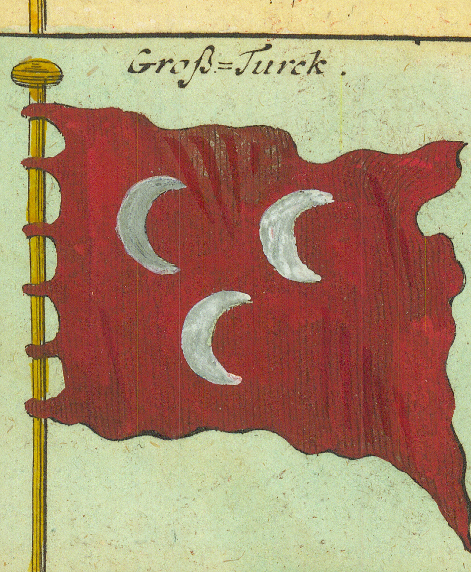
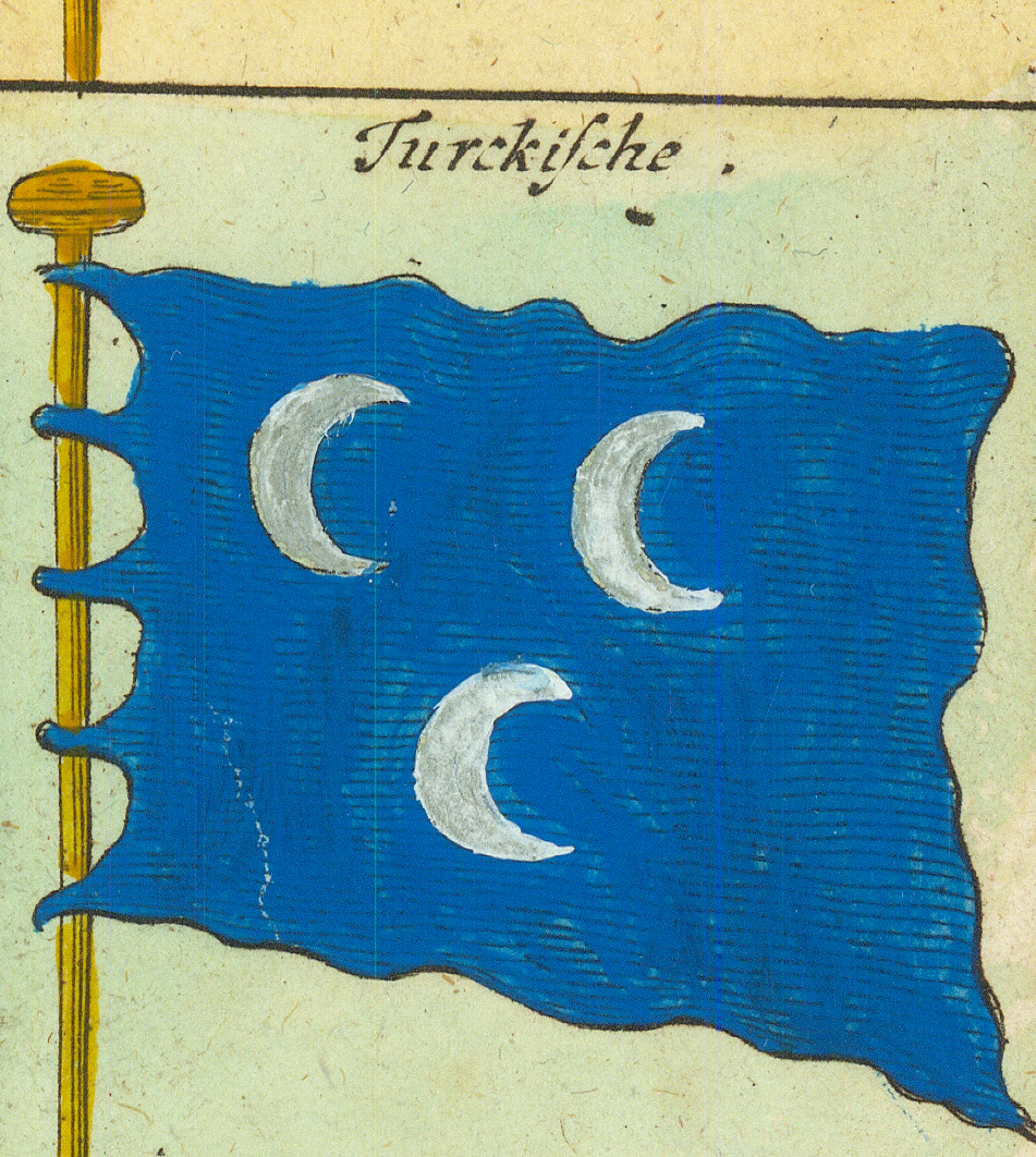
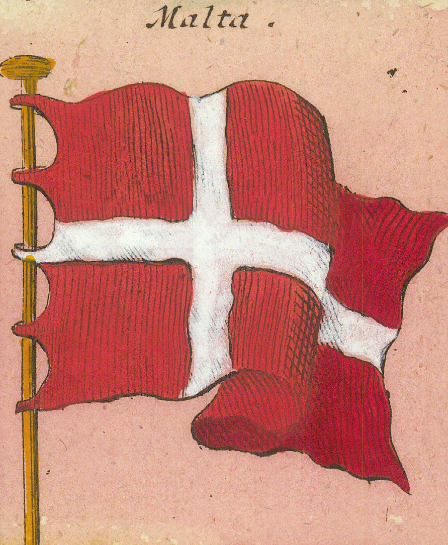
OstendeOstendSicilienSicilyHaupt Gallion v. SicilienChief galleon of SicilySardinienSardinia — the four MoorsPortugalPortugal — striped flag with black cross, unlike documented Portuguese flagsPortugäische KriegsPortuguese war flagPortugäische KauffardeijPortuguese merchantmenHeiligelandHeligolandSpanienSpain — the full armsMaltaMalta — the plain crossGroß Türckische StandartGreat Turkish standard — three crescentsTürckische BassaTurkish pashaGroß-TurckGreat Turk — the SultanTürckischeTurkish
Row 9
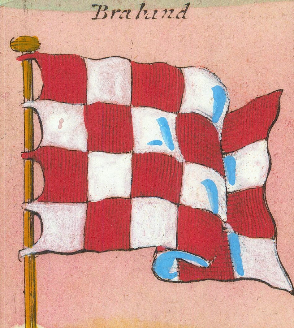
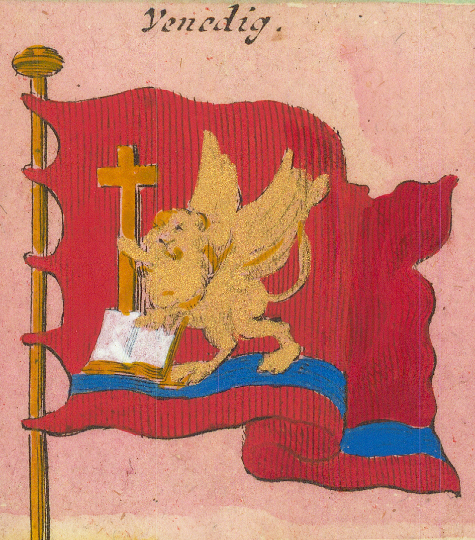
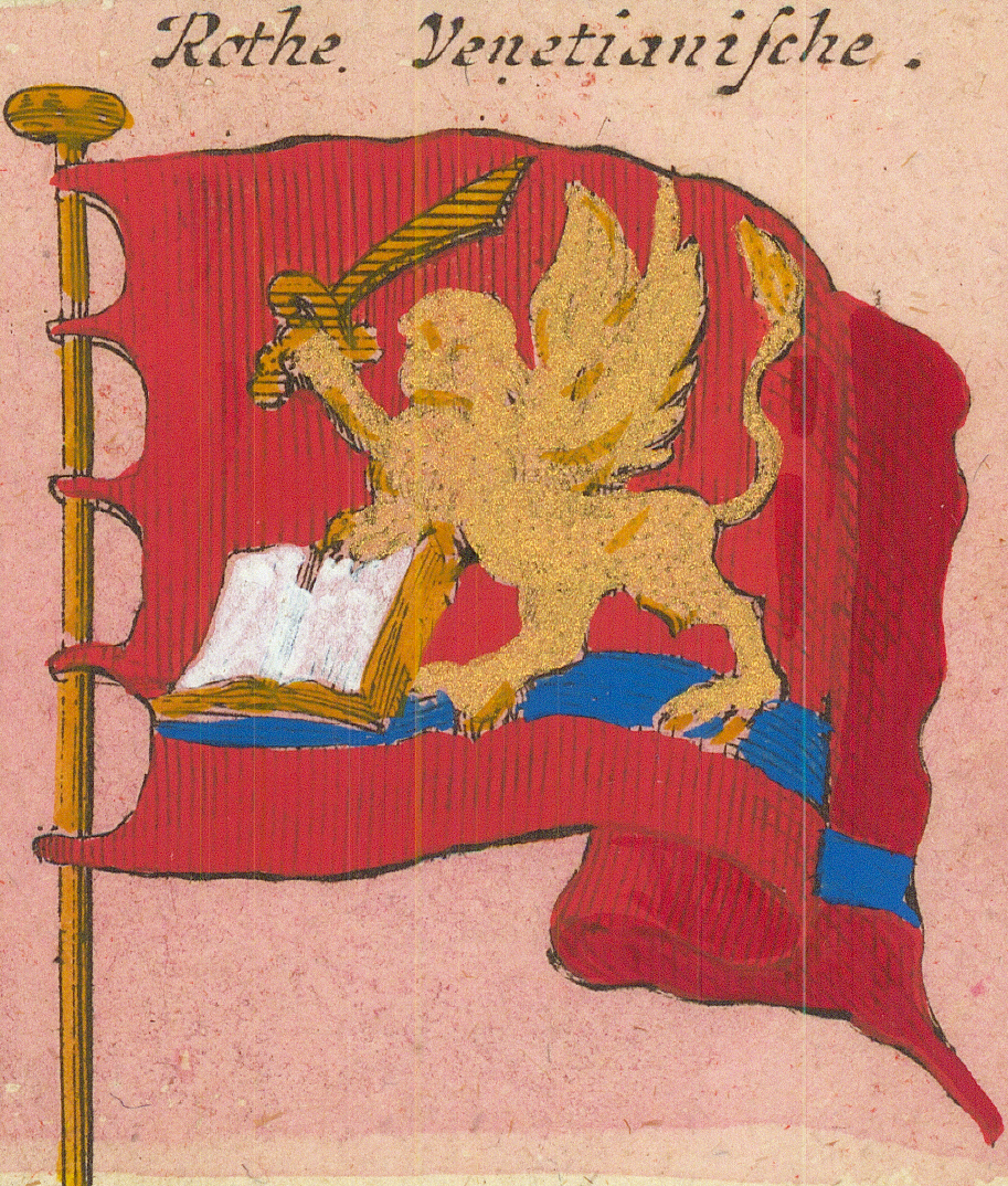
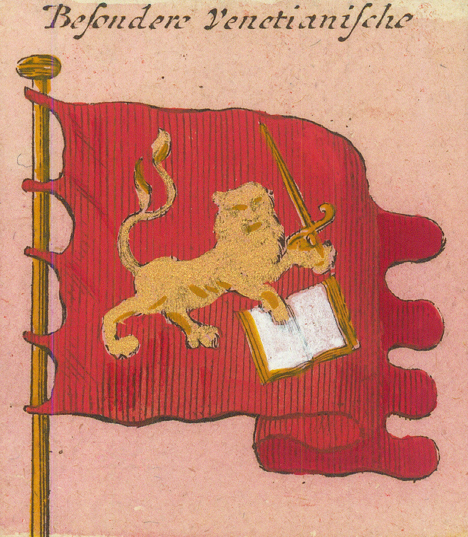
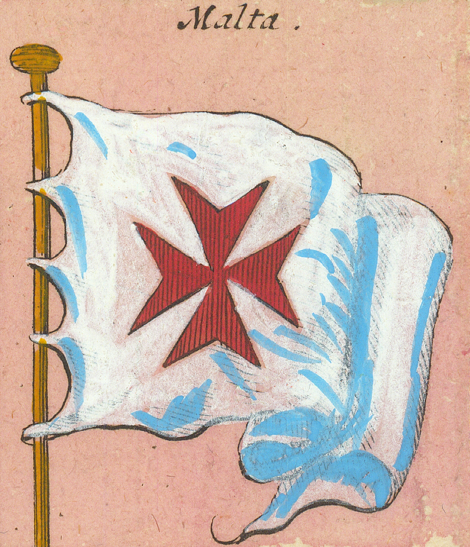
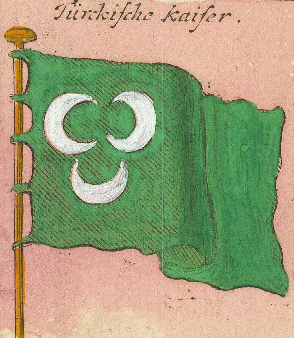
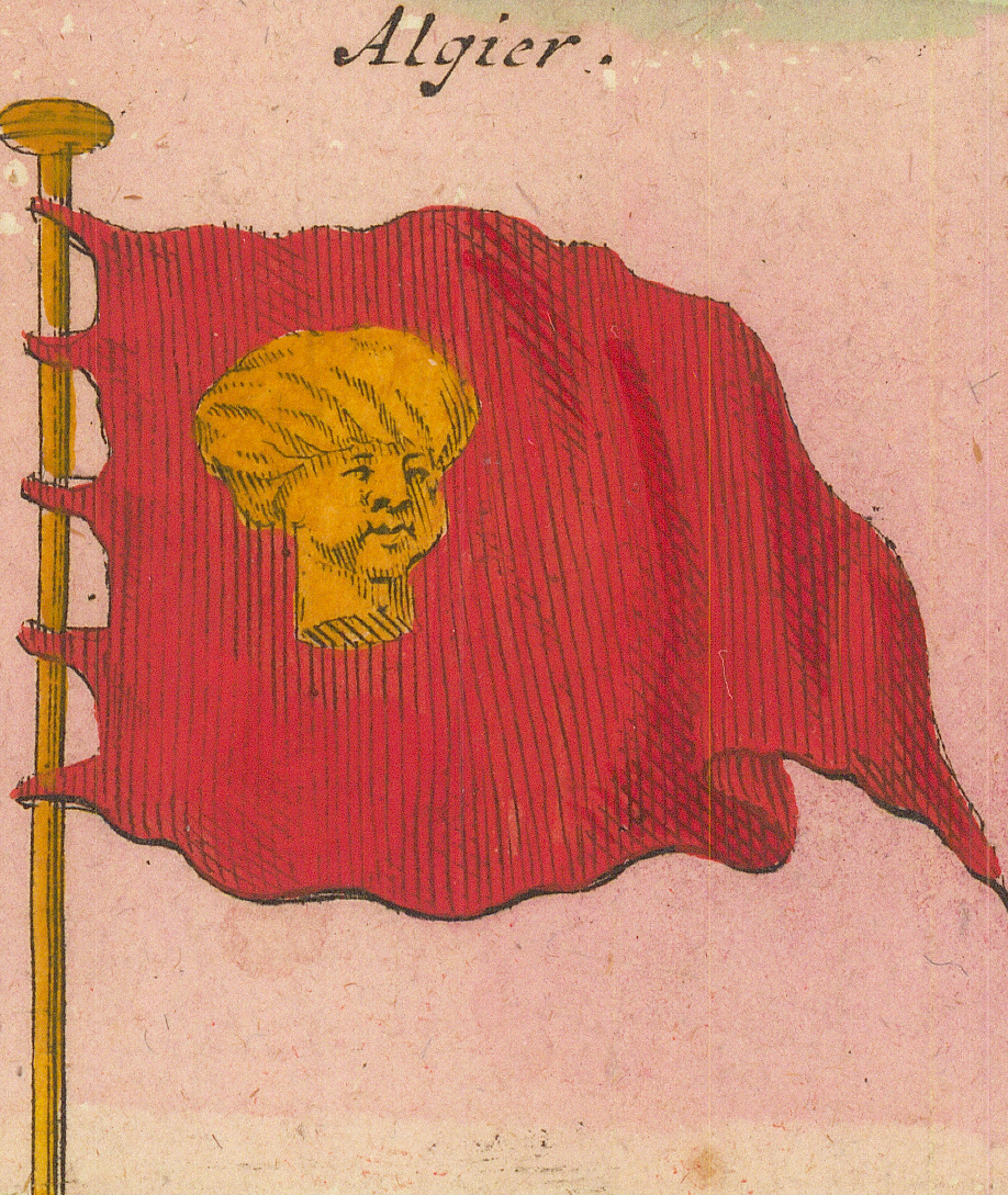
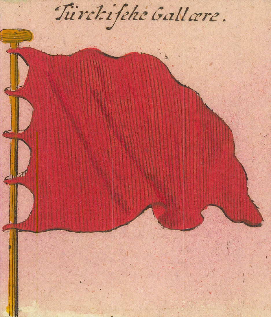
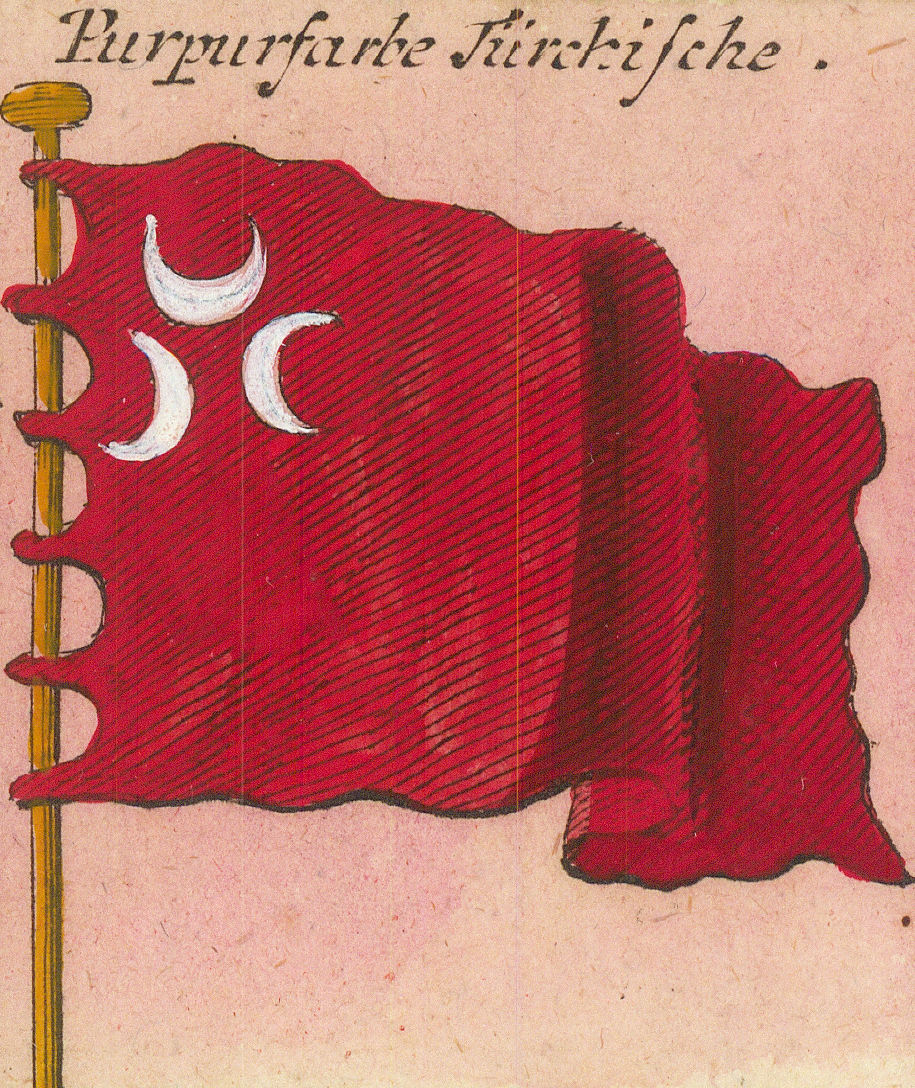
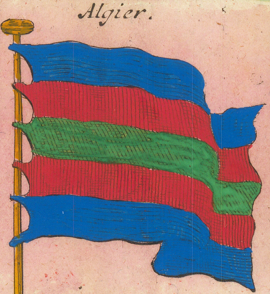
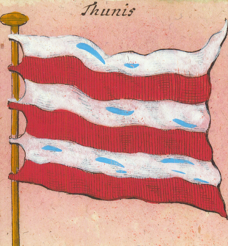
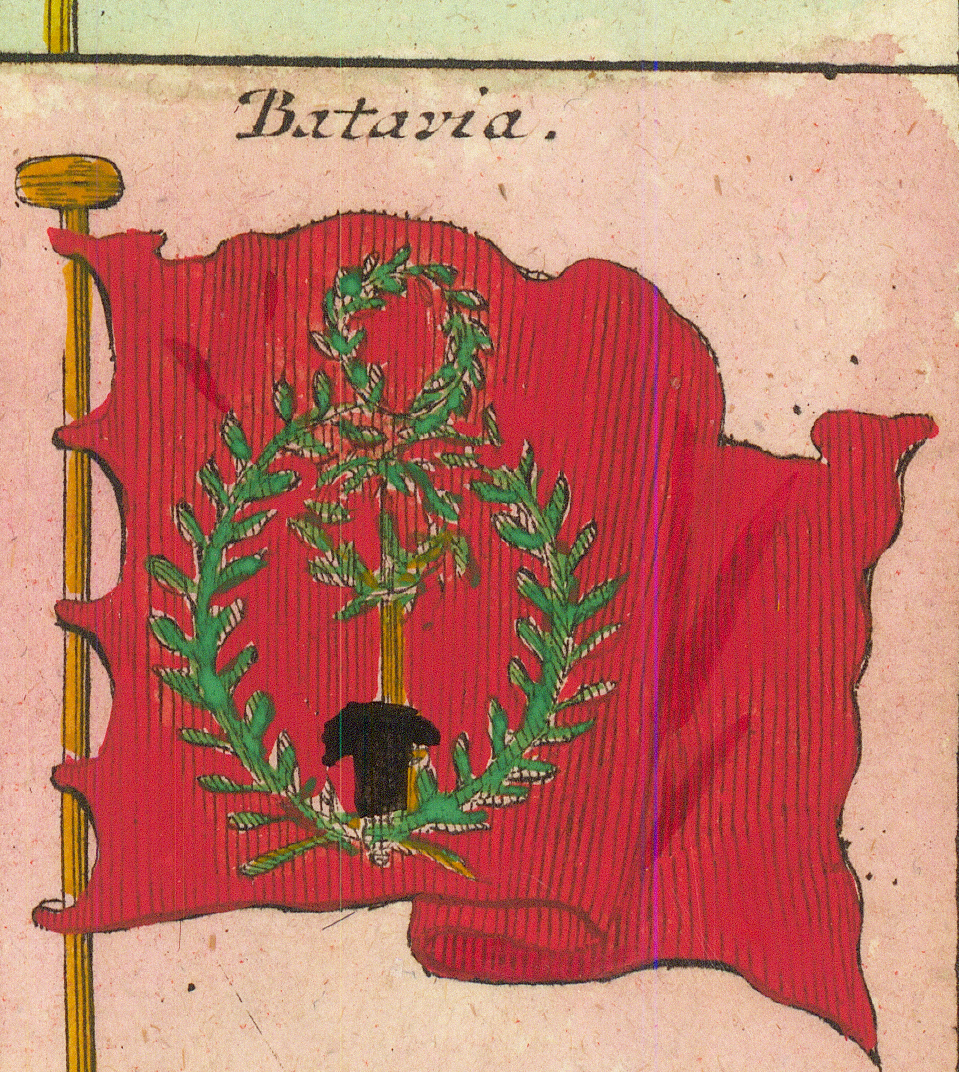
BrabandBrabantVlammischeFlemish — second form, the black lionVenedigVenice — the lion of St MarkRothe VenetianischeRed Venetian — the lion with drawn swordBesondere VenetianischeParticular VenetianMaltaMalta — second formMaltaMalta — third form, the eight-pointed crossTürckische KaiserTurkish emperor — triple crescent on greenAlgierAlgiers — the turbaned headTürckische GallæreTurkish galley — plain redPurpurfarbe TürckischePurple Turkish — the double crescentAlgierAlgiers — second form, bandedThunisTunisBataviaBatavia — the wreathed sword
Row 10
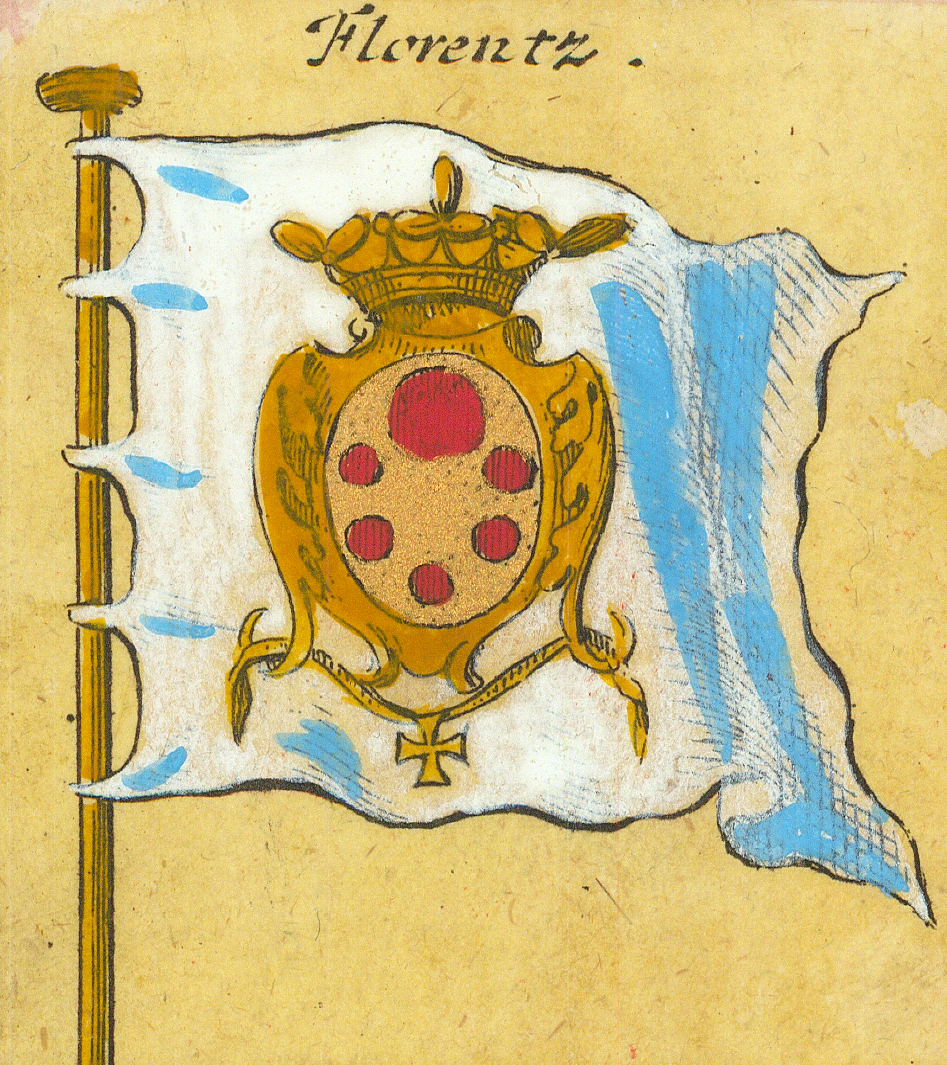
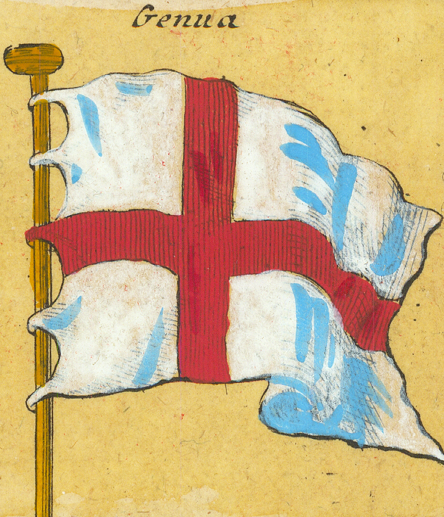
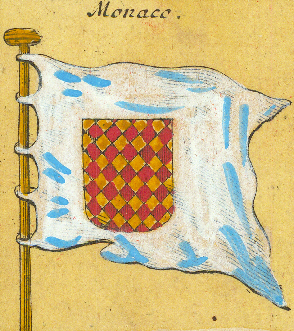
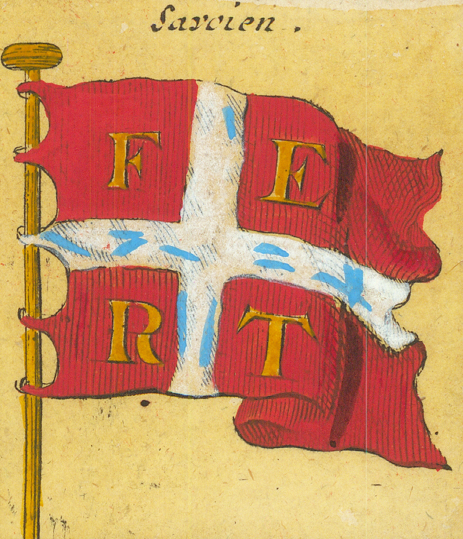
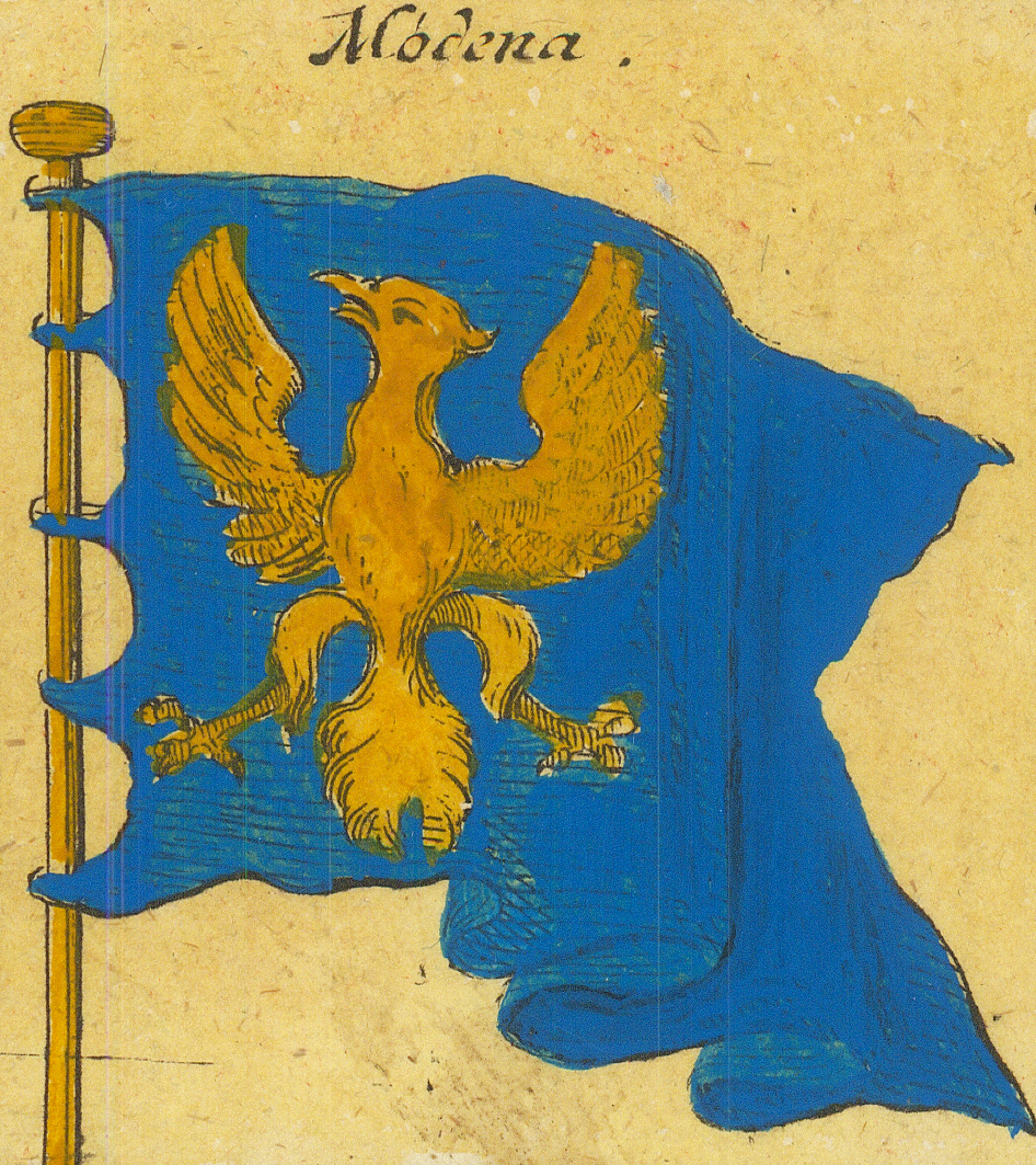
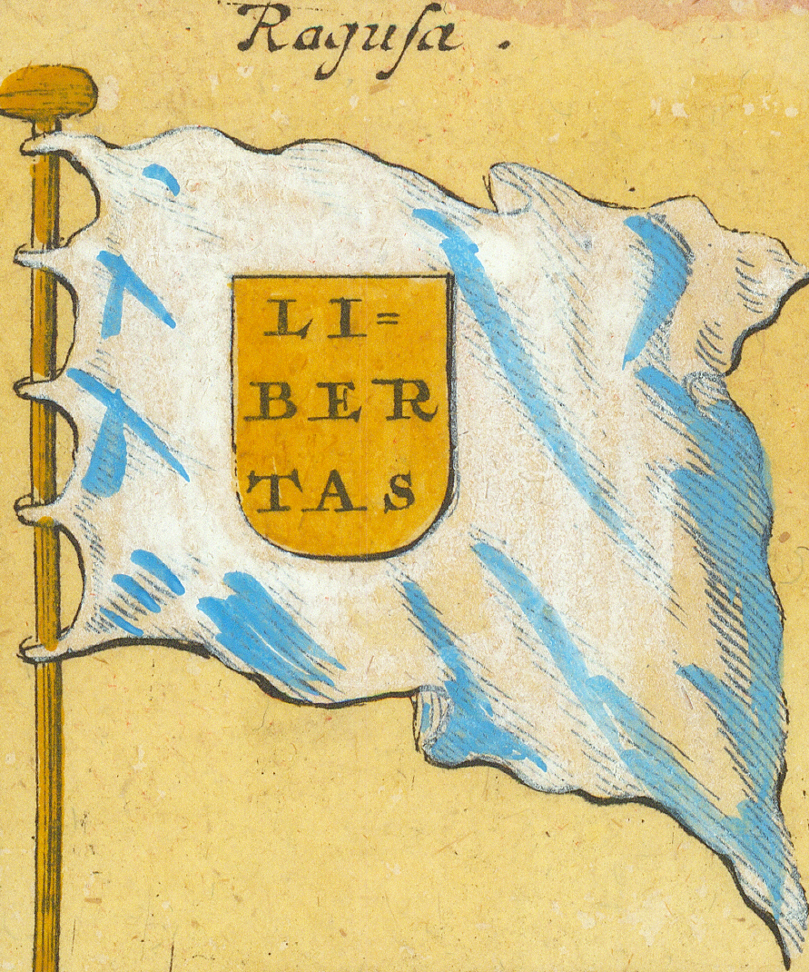
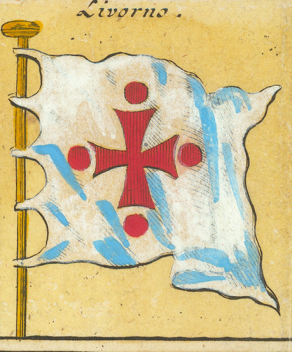
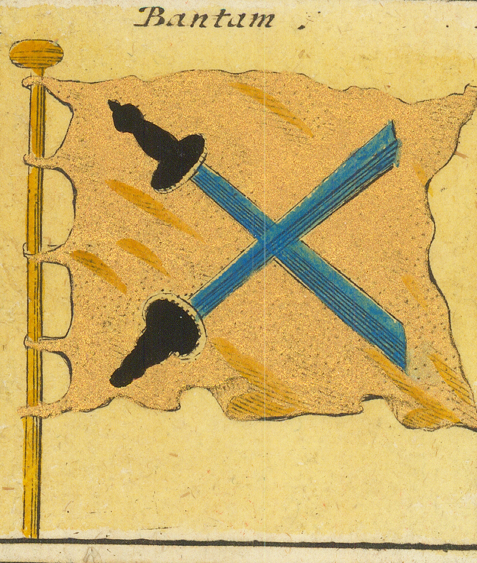
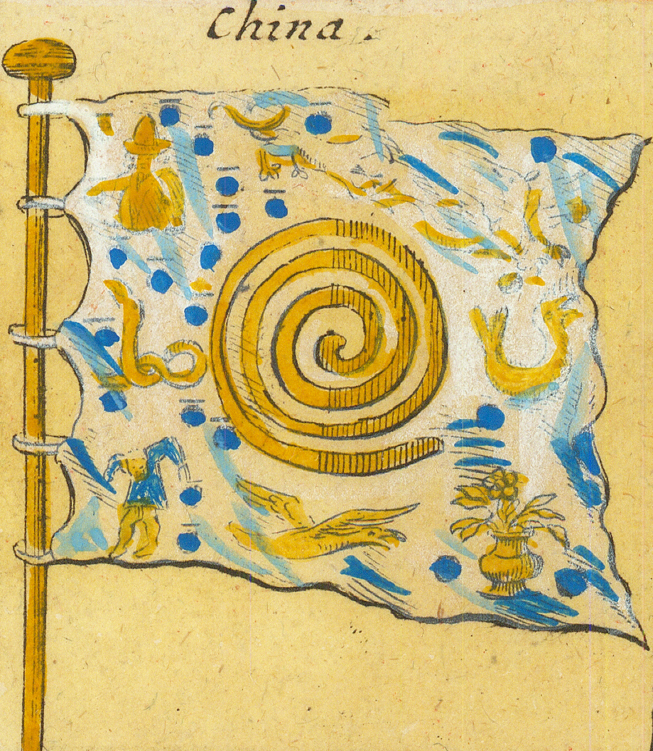
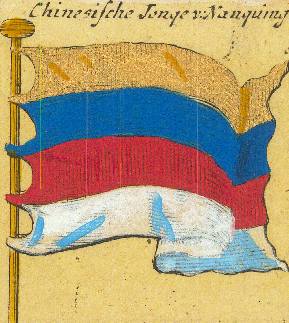
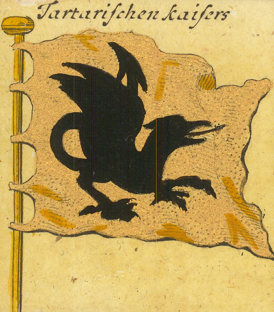
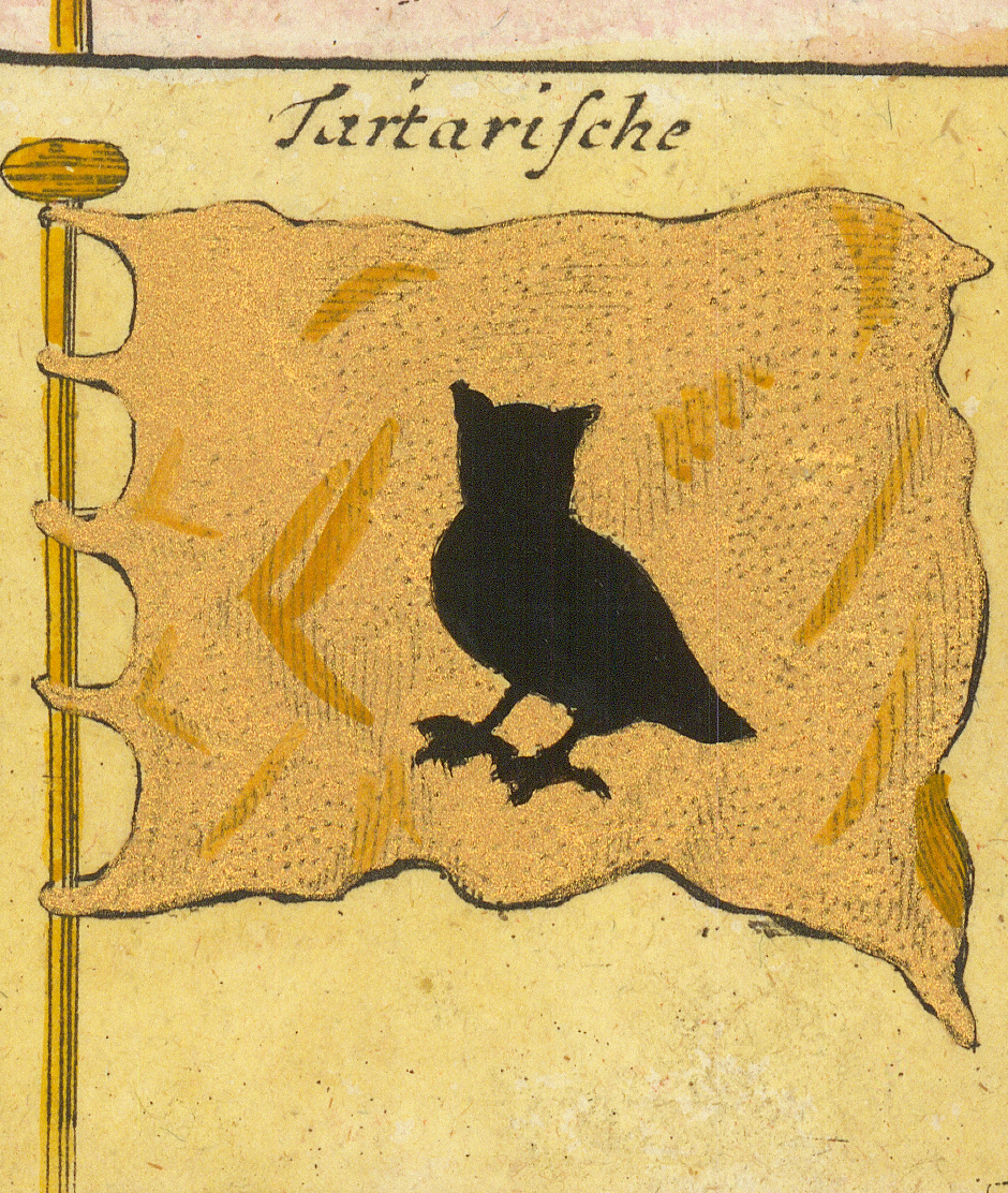
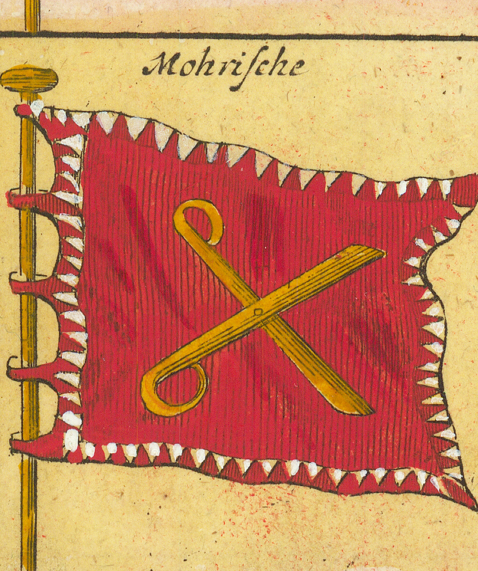
FlorentzFlorence — the Medici armsGenuaGenoa — the red crossMonacoMonaco — the lozengy armsSavoienSavoy — the cross with FERTMódenaModena — the Este eagleRagusaRagusa (Dubrovnik) — LIBERTASLivornoLivornoBantamBantam (Java) — crossed swordsChinaChina — the coiled dragonChinesische Jonge v: NanquingChinese junks of NankingTartarischen KaisersOf the Tartar emperor — the black dragonTartarischeTartar — the black owlMohrischeMoorish — bordered standard with crossed deviceGelb · Weiß · Blau · Roth · Schwartz · Grün · PurpurLegend of plain colour flags — yellow, white, blue, red, black, green, purple
Method and Next Stage
This preliminary index records what is present before interpreting it. As the earliest sheet in the collection, the Homann chart shows the European flag-chart tradition in the state from which later publishers copied, and many panels invite study.
Among them: the Union panel is a red flag faintly inscribed “For Protestant Religion and the Liberty of England” — the motto associated with William of Orange's descent on England in 1688 — and, with the three royal English panels, may help date the engraving; the Portugal panel of row 8 shows a diagonally striped flag with a black cross that matches no documented Portuguese flag; the Courland crab, the Tartar owl, and the three Muscovy panels preserve chart-tradition designs whose sources remain to be traced. The colour-flag legend in the final cell suggests the sheet was meant for practical signal reading as well as reference.
Several depictions here stand at the head of copying chains that reach the later sheets in this collection — the Jerusalem, Corsica, and Barbary flags recur on the 1769 Encyclopédie plate and the 1837 Andriveau-Goujon sheet.
Bibliographic References
Flaggen aller seefahrenden Potenzen und Nationen in der gantzen Weldt, complete sheet in the present collection; title, subtitle, and all captions transcribed from the sheet.
Identification of the impression and its containing Homann atlas remains to be established.